Zhaotun
| Zhaotun (赵屯) | |
| Zhaotun zhen | |
| Köping | |
| Officiellt namn: 赵屯镇 | |
| Land | |
|---|---|
| Provins | Anhui |
| Stad på prefekturnivå | Suzhou |
| Härad | Dangshan |
| Koordinater | 34°25′25″N 116°17′49″Ö / 34.4237°N 116.297°Ö |
| Tidszon | CT (UTC+8) |
| Geonames | 8639070 |
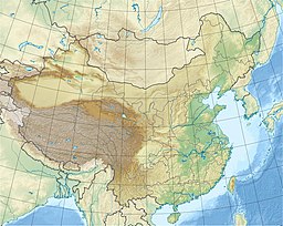
Läge i Kina | |
Zhaotun (kinesiska: 赵屯) är en köping i östra Kina. Den ligger i Dangshan härad i staden Suzhou i provinsen Anhui[1], omkring 300 kilometer norr om provinshuvudstaden Hefei.
Källor
- ^ ”China: Sùzhōu Shì (Ānhuī)”. citypopulation.de. https://citypopulation.de/en/china/townships/suzhouanhui/. Läst 25 januari 2025.
Media som används på denna webbplats
Shiny red button/marker widget. Used to mark the location of something such as a tourist attraction.
Författare/Upphovsman: Uwe Dedering, Licens: CC BY-SA 3.0
Location map of China.
EquiDistantConicProjection : Central parallel :
* N: 36.0° N
Central meridian :
* E: 104.0° E
Standard parallels :
* 1: 30.0° N
* 2: 42.0° N
Latitudes on the central meridian :
* top: 57.0° N
* center: 37.29° N
* bottom: 17.96° N
Made with Natural Earth. Free vector and raster map data @ naturalearthdata.com.


