Townsend, Delaware
| Townsend | |
| town | |
Historisk byggnad från Townsend | |
| Land | |
|---|---|
| Delstat | Delaware |
| County | New Castle County |
| Koordinater | 39°23′39″N 75°41′34″V / 39.39417°N 75.69278°V |
| Yta | 2,0 km² (2010) |
| - land | 1,6 km² |
| - vatten | 0,4 km² |
| Folkmängd | 2 049 (2010) |
| Befolkningstäthet | 1 281 invånare/km² |
| Grundad | 1885 |
| Tidszon | EST (UTC-5) |
| - sommartid | EDT (UTC-4) |
| ZIP-kod | 19734 |
| FIPS | 1072510 |
| Geonames | 4145047 |
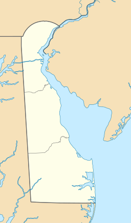
Ortens läge i Delaware | |
Delawares läge i USA | |
Townsend är en ort i New Castle County i Delaware i USA som år 2010 hade 2 049 invånare.[1] Delawares befolkningstyngdpunkt ligger i Townsend.[2]
Referenser
- ^ 2010 Census Interactive Population Search Arkiverad 13 december 2014 hämtat från the Wayback Machine.. United States Census Bureau. Läst 12 december 2014.
- ^ Townsend. Map Quest. Läst 21 november 2024.
Media som används på denna webbplats
Shiny red button/marker widget. Used to mark the location of something such as a tourist attraction.
Författare/Upphovsman: Huebi, Licens: CC BY 2.0
Map of USA with Delaware highlighted
Författare/Upphovsman: Alexrk2, Licens: CC BY 3.0
Den här Det karta skapades med GeoTools.
Författare/Upphovsman: Smallbones, Licens: CC BY-SA 3.0
Building in Townsend Historic District listed on the NRHP on May 8, 1986. The historic district is roughly bounded by Gray, Ginn and South, Lattamus and Main Sts., and Commerce St. and Cannery Ln. and Railroad Ave., in Townsend, Sussex County, Delaware


