Srīperumbūdūr
| Den här artikeln har skapats av Lsjbot, ett program (en robot) för automatisk redigering. (2016-09) Artikeln kan innehålla fakta- eller språkfel, eller ett märkligt urval av fakta, källor eller bilder. Mallen kan avlägsnas efter en kontroll av innehållet (vidare information) |
| Srīperumbūdūr | |
| Sriperumbubur | |
| Ort | |
 | |
| Land | |
|---|---|
| Delstat | Tamil Nadu |
| Distrikt | Kancheepuram |
| Höjdläge | 46 m ö.h. |
| Koordinater | 12°58′03″N 79°56′31″Ö / 12.96763°N 79.94197°Ö |
| Folkmängd | 17 253 (2014-10-14)[1] |
| Tidszon | IST (UTC+5:30) |
| Geonames | 1255630 |
 Läge i Indien | |
Srīperumbūdūr är en ort i Indien.[1] Den ligger i distriktet Kancheepuram och delstaten Tamil Nadu, i den södra delen av landet, 1 800 km söder om huvudstaden New Delhi. Srīperumbūdūr ligger 46 meter över havet[1] och antalet invånare är 17 253.[1]
Terrängen runt Srīperumbūdūr är platt, och sluttar österut.[a] Runt Srīperumbūdūr är det tätbefolkat, med 511 invånare per kvadratkilometer.[3] Närmaste större samhälle är Tiruvallur, 19,9 km norr om Srīperumbūdūr. Omgivningarna runt Srīperumbūdūr är en mosaik av jordbruksmark och naturlig växtlighet.[4]
Kommentarer
Källor
- ^ [a b c d] Srīperumbūdūr hos Geonames.org (cc-by); post uppdaterad 2014-10-14; databasdump nerladdad 2016-08-15
- ^ ”Viewfinder Panoramas Digital elevation Model”. http://www.viewfinderpanoramas.org/dem3.html. Läst 21 juni 2015.
- ^ ”NASA Earth Observations: Population Density”. NASA/SEDAC. Arkiverad från originalet den 9 februari 2016. https://web.archive.org/web/20160209064446/http://neo.sci.gsfc.nasa.gov/view.php?datasetId=SEDAC_POP. Läst 30 januari 2016.
- ^ ”NASA Earth Observations: Land Cover Classification”. NASA/MODIS. Arkiverad från originalet den 28 februari 2016. https://web.archive.org/web/20160228161657/http://neo.sci.gsfc.nasa.gov/view.php?datasetId=MCD12C1_T1. Läst 30 januari 2016.
Externa länkar
 Wikimedia Commons har media som rör Srīperumbūdūr.
Media som används på denna webbplats
Robot icon.svg
Robot icon
Robot icon

India relief location map.jpg
Författare/Upphovsman: Uwe Dedering, Licens: CC BY-SA 3.0
Location map of India.
Författare/Upphovsman: Uwe Dedering, Licens: CC BY-SA 3.0
Location map of India.
Equirectangular projection. Stretched by 106.0%. Geographic limits of the map:
- N: 37.5° N
- S: 5.0° N
- W: 67.0° E
- E: 99.0° E

Red pog.svg
Shiny red button/marker widget. Used to mark the location of something such as a tourist attraction.
Shiny red button/marker widget. Used to mark the location of something such as a tourist attraction.
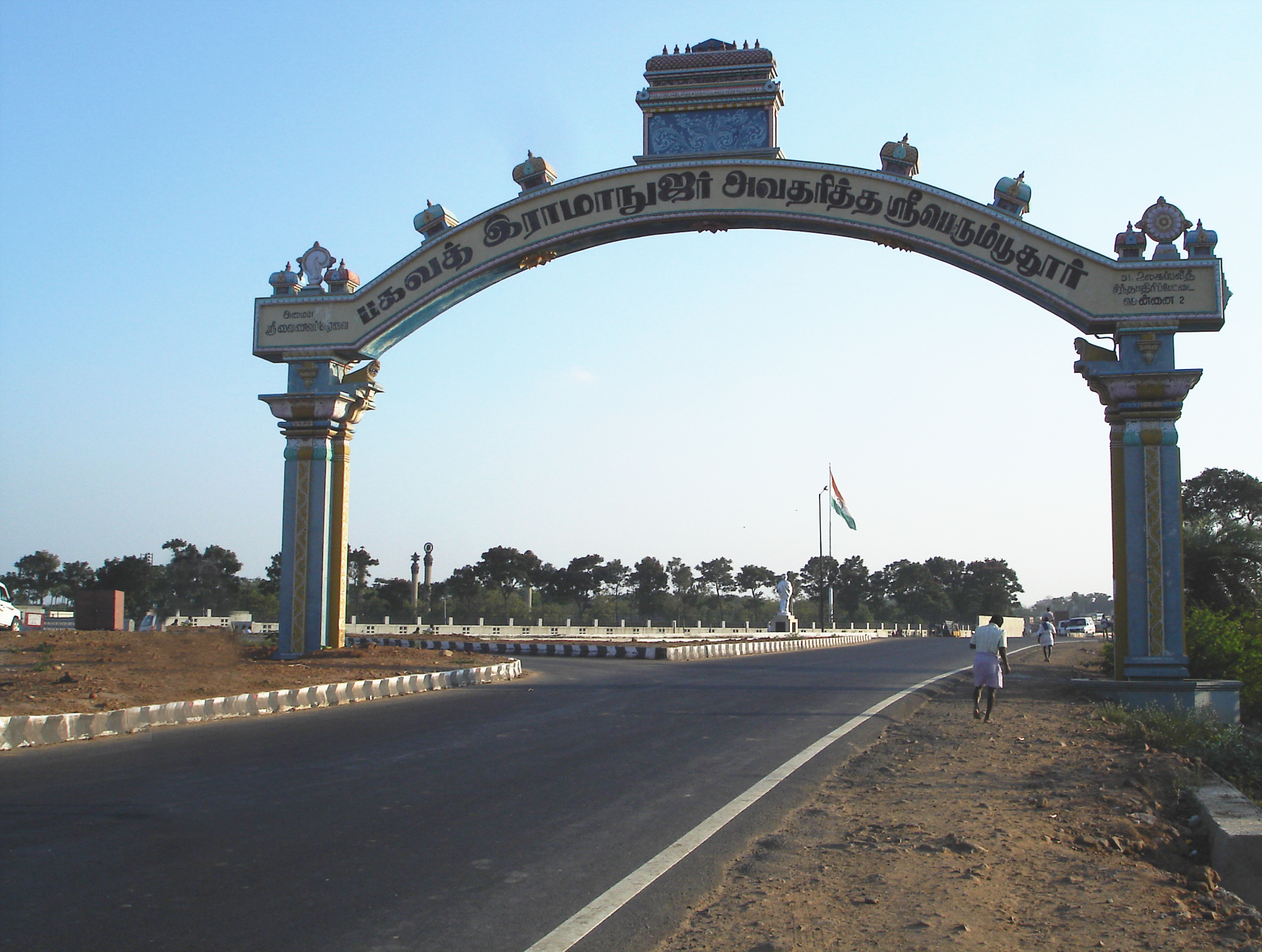
Sriperumbudur Arch.jpg
Författare/Upphovsman:
,
Licens: CC BY-SA 2.5
The arch at the entrance to the town of w:Sriperumbudur
Författare/Upphovsman:
This Image was created by User:PlaneMad.
|
The arch at the entrance to the town of w:Sriperumbudur