Soto, Curaçao
| Soto | |
| Dorp Soto | |
| Ort | |
| Land | |
|---|---|
| Koordinater | 12°16′39″N 69°06′45″V / 12.2775°N 69.1125°V |
| Folkmängd | 2 233 (2011)[1] |
| Tidszon | AST (UTC-4) |
| Geonames | 3513761 |
Soto är en ort i Curaçao. Den ligger i den nordvästra delen av landet, 25 km nordväst om huvudstaden Willemstad. Antalet invånare är 2 233.
Källor
- ^ http://cbscuracao.maps.arcgis.com/apps/webappviewer/index.html?id=6ed83880519f40ddb5d98d8b73671bcd Curaçao Census 2011 Neighbourhood Data Viewer
Media som används på denna webbplats
Shiny red button/marker widget. Used to mark the location of something such as a tourist attraction.
Författare/Upphovsman: Xfigpower (pssst), 24 February 2011 (UTC), Licens: CC BY 3.0
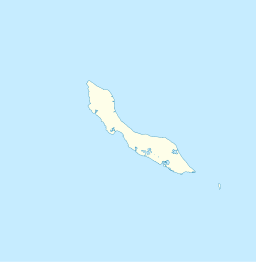
Blank administrative map of Curaçao
The flag of Curaçao is a blue field with a horizontal yellow stripe slightly below the midline and two white, five-pointed stars in the canton. The geometry and colors are according to the description at Flags of the World.


