San Luis
San Luis, kan syfta på:
- Club San Luis – ett fotbollslag
Geografi
Antarktis
- San Luis (udde), 64°32′00″S 62°06′00″V / 64.53333°S 62.1°V
Argentina
- San Luis del Palmar kommun, Corrientes, 27°30′S 58°15′V / 27.5°S 58.25°V
- San Luis (provins), 34°S 66°V / 34°S 66°V
- San Luis, Argentina, provinshuvudstad, 33°17′42″S 66°20′08″V / 33.29501°S 66.33563°V
Bolivia
- Entre Ríos (ort), Tarija, 21°31′36″S 64°10′23″V / 21.52661°S 64.17299°V
Colombia
- San Luis de Palenque kommun, Casanare, 5°16′50″N 71°34′55″V / 5.28056°N 71.58194°V
- San Luis de Palenque (ort), Casanare, 5°25′17″N 71°43′54″V / 5.42139°N 71.73167°V
- San Luis kommun, Antioquia, 6°00′00″N 74°50′00″V / 6°N 74.83333°V
- San Luis, Antioquia, 6°02′30″N 74°59′34″V / 6.04167°N 74.99278°V
- San Luis kommun, Tolima, 4°10′00″N 75°05′00″V / 4.16667°N 75.08333°V
- San Luis, Tolima, 4°07′57″N 75°05′42″V / 4.13258°N 75.09499°V
Filippinerna
- San Luis, Agusan del Sur
- San Luis, Aurora
- San Luis, Batangas
- San Luis, Pampanga
Guatemala
- San Luis Jilotepeque (kommunhuvudort), Departamento de Jalapa, 14°39′00″N 89°44′00″V / 14.65°N 89.73333°V
- San Luis, Guatemala, Petén, 16°11′56″N 89°26′25″V / 16.19889°N 89.44028°V
Honduras
- San Luis kommun, Santa Bárbara, 15°05′N 88°28′V / 15.09°N 88.47°V
- San Luis kommun, Comayagua, 14°45′00″N 87°25′00″V / 14.75°N 87.41667°V
Kuba
- San Luis kommun, Pinar del Río, 22°17′00″N 83°46′00″V / 22.28333°N 83.76667°V
- San Luis, Pinar del Río, 22°17′25″N 83°45′56″V / 22.2903°N 83.76561°V
- San Luis kommun, Santiago de Cuba, 20°11′00″N 75°51′00″V / 20.18333°N 75.85°V
- San Luis, Santiago de Cuba, 20°11′15″N 75°51′03″V / 20.1875°N 75.85083°V
Mexiko
- Huamantla (ort), Tlaxcala, 19°18′54″N 97°55′24″V / 19.31491°N 97.92321°V
- San Luis, José Azueta, 18°00′37″N 95°42′51″V / 18.01021°N 95.71406°V
- San Luis Río Colorado (ort), Sonora, 32°27′22″N 114°46′19″V / 32.45612°N 114.77186°V
- San Luis Potosí (delstatshuvudstad), 22°08′59″N 100°58′45″V / 22.14982°N 100.97916°V
- San Luis, Ensenada, 28°26′00″N 113°45′00″V / 28.43333°N 113.75°V
- San Luis, Tijuana, 32°25′54″N 116°57′13″V / 32.43167°N 116.95361°V
- San Luis (norra Ocosingo kommun), 16°56′08″N 91°37′50″V / 16.93556°N 91.63056°V
- San Luis, La Trinitaria, 16°06′31″N 91°38′30″V / 16.10861°N 91.64167°V
- San Luis, Palenque, 17°08′30″N 91°22′40″V / 17.14167°N 91.37778°V
- San Luis, Solosuchiapa, 17°24′02″N 93°00′36″V / 17.40048°N 93.01002°V
- San Luis, Los Reyes, 19°41′53″N 102°19′17″V / 19.69806°N 102.32139°V
- San Luis, Tecpatán, 17°09′27″N 93°18′26″V / 17.1575°N 93.30722°V
- San Luis, Jesús Carranza, 17°31′16″N 94°45′35″V / 17.52111°N 94.75972°V
- San Luis (centrala Hueytamalco kommun), 19°59′58″N 97°18′04″V / 19.99943°N 97.30098°V
- San Luis (västra Hueytamalco kommun), 20°03′25″N 97°20′31″V / 20.05687°N 97.34206°V
- San Luis (västra Ocosingo kommun), 16°50′45″N 91°41′29″V / 16.84583°N 91.69139°V
- San Luis, Cintalapa, 16°42′13″N 93°42′16″V / 16.70361°N 93.70444°V
- San Luis, Cuetzala del Progreso, 18°03′51″N 99°47′52″V / 18.06417°N 99.79778°V
- San Luis Potosí (delstat) – en delstat
- San Luis Potosí (stad) – den delstatens huvudstad
- San Luis Río Colorado – en stad i delstaten Sonora
USA
- Saint Louis, Missouri, City of Saint Louis, 38°37′38″N 90°11′52″V / 38.62727°N 90.19789°V
- San Luis, Arizona, ort, Yuma County, 32°29′13″N 114°46′56″V / 32.487°N 114.78218°V
- San Luis, Colorado, countyhuvudort, Costilla County, 37°12′03″N 105°25′26″V / 37.20085°N 105.4239°V
- San Luis Obispo, Kalifornien
Se även
Media som används på denna webbplats
Författare/Upphovsman: Alexrk2, Licens: CC BY-SA 3.0
Location map Antarctica, Azimuthal equidistant projection
Shiny blue button/marker widget.
Författare/Upphovsman: NordNordWest, Licens: CC BY-SA 3.0
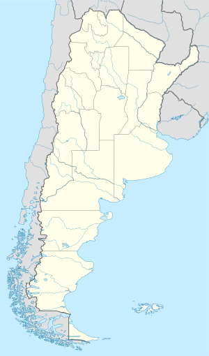
Location map of Argentina
Författare/Upphovsman:
- Guatemala Departments.svg: Daryona
- Mexico location map.svg: NordNordWest
- härlett verk: Spischot
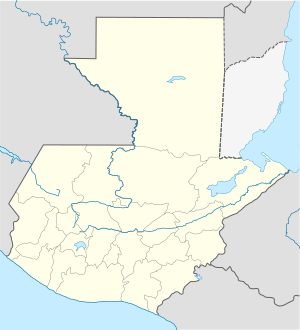
Location map of Guatemala
Författare/Upphovsman: Sémhur, Licens: CC BY-SA 4.0
Map of Mexico, with states borders.
Författare/Upphovsman: TUBS
Location map of the USA (Hawaii and Alaska shown in sidemaps).
Main map: EquiDistantConicProjection : Central parallel :
* N: 37.0° N
Central meridian :
* E: 96.0° W
Standard parallels:
* 1: 32.0° N
* 2: 42.0° N
Made with Natural Earth. Free vector and raster map data @ naturalearthdata.com.
Formulas for x and y:
x = 50.0 + 124.03149777329222 * ((1.9694462586094064-({{{2}}}* pi / 180))
      * sin(0.6010514667026994 * ({{{3}}} + 96) * pi / 180))
y = 50.0 + 1.6155950752393982 * 124.03149777329222 * 0.02613325650382181
      - 1.6155950752393982  * 124.03149777329222 *
     (1.3236744353715044  - (1.9694462586094064-({{{2}}}* pi / 180))
      * cos(0.6010514667026994 * ({{{3}}} + 96) * pi / 180))
Hawaii side map: Equirectangular projection, N/S stretching 107 %. Geographic limits of the map:
- N: 22.4° N
- S: 18.7° N
- W: 160.7° W
- E: 154.6° W
Alaska side map: Equirectangular projection, N/S stretching 210.0 %. Geographic limits of the map:
- N: 72.0° N
- S: 51.0° N
- W: 172.0° E
- E: 129.0° W
Logo for disambiguation pages.
Författare/Upphovsman: NordNordWest, Licens: CC BY-SA 3.0
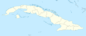
Location map of Cuba
Författare/Upphovsman: Addicted04, Licens: CC BY-SA 3.0
Location map of Honduras.
Geographic limits of the map:
* West : 269.50 W
* East : 89.00W
* North : 24.00N
* South : 180.00N
Författare/Upphovsman: NordNordWest, Licens: CC BY-SA 3.0
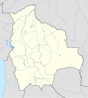
Location map of Bolivia

