Saint-Clément-de-la-Place
| Saint-Clément-de-la-Place | |
| Kommun | |
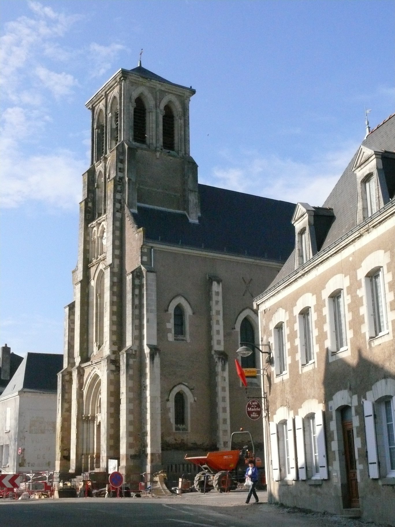
 Kyrkan Saint-Clément | |
| Land | |
|---|---|
| Region | |
| Departement | |
| Arrondissement | Angers |
| Kanton | Le Louroux-Béconnais |
| Koordinater | 47°32′N 0°45′V / 47.533°N 0.750°V |
| Yta | 33,23 km²[1] |
| Folkmängd | 2 139 ()[2] |
| Befolkningstäthet | 64 invånare/km² |
| Tidszon | CET (UTC+1) |
| - sommartid | CEST (UTC+2) |
| Postnummer | 49370 |
| INSEE | 49271 |
| Geonames | 6435280 |
| OSM-karta | 178355 |
 Kommunens läge i regionen Pays de la Loire i Frankrike | |
| Webbplats: http://www.saint-clement-de-la-place.fr | |

Saint-Clément-de-la-Place är en kommun i departementet Maine-et-Loire i regionen Pays de la Loire i nordvästra Frankrike. Kommunen ligger i kantonen Le Louroux-Béconnais som tillhör arrondissementet Angers. År 2022 hade Saint-Clément-de-la-Place 2 139 invånare.
Befolkningsutveckling
Antalet invånare i kommunen Saint-Clément-de-la-Place
 Referens: INSEE[3] |
Se även
Källor
- ^ Répertoire géographique des communes, Institut national de l'information géographique et forestière, läst: 26 oktober 2015.[källa från Wikidata]
- ^ Populations légales 2022, Institut National de la Statistique et des Études Économiques, 19 december 2024.[källa från Wikidata]
- ^ Chiffres clés - Évolution et structure de la population hämtat från the Wayback Machine (arkiverat 4 maj 2012).
Externa länkar
 Wikimedia Commons har media som rör Saint-Clément-de-la-Place.
Media som används på denna webbplats


Shiny red button/marker widget. Used to mark the location of something such as a tourist attraction.
Författare/Upphovsman:
|
Map data (c) OpenStreetMap contributors, CC-BY-SA _French_municipality_map.svg) • Shape files infrastructure: railway, highways, water: all originally by OpenStreetMap contributors. Status december 2011 *note: shown commune boundaries are from OSM dump May 2012; at that time about 90% complete |
Map commune FR insee code 49271.png


Författare/Upphovsman: Michiel1972, Licens: CC BY-SA 3.0
Population - Municipality code 49271.svg
Population Census 1962-2008Författare/Upphovsman: Eric Gaba (Sting - fr:Sting), Licens: CC BY-SA 4.0
Blank physical map of metropolitan France for geo-location purpose.
Scale : 1:14 816 000 (accuracy : about 3,7 km) for the bathymetry. More maps of France, view → Commons Atlas of France.
Författare/Upphovsman:
| This illustration was made by Peter Potrowl.
Please credit this with : © Peter Potrowl in the immediate vicinity of the image. A link to my website sitemai.eu would be much appreciated but isn't mandatory. An email to
Do not copy this image illegally by ignoring the terms of the license below, as it is not in the public domain.
If you would like special permission to use, license, or purchase the image please contact me More free pictures in my website. Donations are accepted here and here. |
Saint-Clement's church of Saint-Clément-de-la-Place (Maine-et-Loire, Pays de la Loire, France).