Ntem
| Ntem | |
| Río Campo, Ntam | |
| Vattendrag | |
| Länder | |
|---|---|
| Koordinater | 2°10′00″N 10°02′00″Ö / 2.16667°N 10.03333°Ö |
| Tidszon | WAT (UTC+1) |
| Geonames | 2223479 |
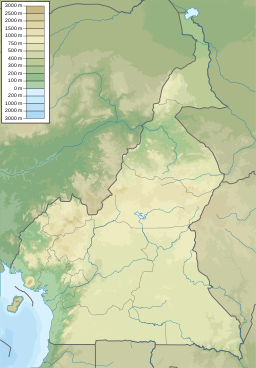
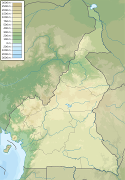
Läge i Kamerun | |
Ntem är en flod i Gabon och Kamerun samt på gränsen till Ekvatorialguinea. Den rinner upp i provinsen Woleu-Ntem i norra Gabon, ingår därefter i gränsen mellan Gabon och Kamerun,[1][2] fortsätter genom södra Kamerun[3] och bildar i det nedersta loppet gräns mellan Kamerun och Ekvatorialguinea[4].
Källor
- ^ Loungou, Serge (1999). ”La frontière nord du Gabon : une brève étude de géographie politique” (på franska). Espace Populations Sociétés (3): sid. 439–449. https://www.persee.fr/doc/espos_0755-7809_1999_num_17_3_1909. Läst 2 mars 2022.
- ^ Lerique, Jacques (1983). ”Hydrographie, hydrologie”. i Barret, Jacques. Géographie et cartographie du Gabon. Libreville: Institut pédagogique national. sid. 16. ISBN 9782850693014
- ^ ”Partie Camerounaise du Fleuve Ntem” (på engelska). Ramsar Sites Information Service. 5 juni 2012. https://rsis.ramsar.org/ris/2067. Läst 2 mars 2022.
- ^ ”Río Ntem o Campo” (på engelska). Ramsar Sites Information Service. 2 juni 2003. https://rsis.ramsar.org/ris/1310. Läst 2 mars 2022.
Media som används på denna webbplats
Författare/Upphovsman: Urutseg, Licens: CC0
Map of Cameroon. parameters equialent to file:Cameroon location map.svg
Shiny red button/marker widget. Used to mark the location of something such as a tourist attraction.


