Makamba (provins)
| Makamba | |
| Provins | |
| Land | |
|---|---|
| Koordinater | 4°10′00″S 29°45′10″Ö / 4.16667°S 29.75278°Ö |
| Huvudort | Makamba |
| Area | 1 959,60 km² |
| Folkmängd | 430 899 (2008)[1] |
| Befolkningstäthet | 220 invånare/km² |
| Tidszon | CAT (UTC+2) |
| ISO 3166-2-kod | BI-MA |
| Geonames | 422233 |
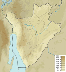
Läge i Burundi. | |
Makamba är en av Burundis 18 provinser. Huvudorten är Makamba. År 2008 hade provinsen 430 899 invånare.[1]
Källor
- ^ [a b] Ndayishimiye, Nicolas, red (2021). ”Tableau 1. 07. Population des provinces et communes en 2008.” (PDF). Annuaire statistique du Burundi 2020. Bujumbura: Institut de statistiques et d'études économiques du Burundi. sid. 23. Arkiverad från originalet den 19 oktober 2022. https://web.archive.org/web/20221019160903/https://www.isteebu.bi/wp-content/uploads/2022/01/Annuaire-Statistique-du-Burundi_2020.pdf. Läst 20 oktober 2022
Media som används på denna webbplats
Författare/Upphovsman: Urutseg, Licens: CC0
Map of Burundi, parameters equivalent to File:Burundi_location_map.svg
Shiny red button/marker widget. Used to mark the location of something such as a tourist attraction.


