Lista över USA:s delstater och territorier
| Den här artikeln behöver fler eller bättre källhänvisningar för att kunna verifieras. (2023-06) Åtgärda genom att lägga till pålitliga källor (gärna som fotnoter). Uppgifter utan källhänvisning kan ifrågasättas och tas bort utan att det behöver diskuteras på diskussionssidan. |
| USA |
 Denna artikel är en del i serien om: |
Övrigt
|
Atlas Politikportalen |
Den här artikeln är en lista över USA:s 50 delstater och 5 territorier. Se Anmärkningar för begreppsförklaringar.
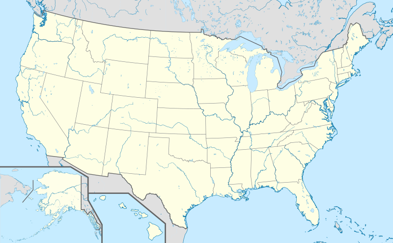
Karta

Delstatshuvudstäder
Huvudstäderna är säte för delstatstyret i respektive delstat. I varje delstat finns en guvernör, lagstiftande församling samt ett eget domstolsväsen.
Delstater
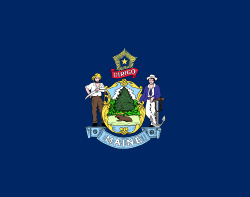
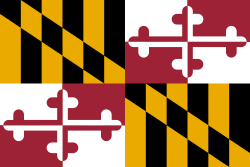
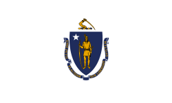
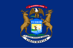
| Flagga | Namn | Förkort- ning | Huvudstad | Största stad | Area, tusental km² | Befolkning (år 2017)[1] | Anslutning till unionen | Smeknamn |
|---|---|---|---|---|---|---|---|---|
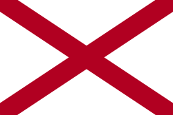
| Alabama | AL | Montgomery | Birmingham | 131,4 | 4 874 747 | 14 december 1819 | Heart of Dixie, Camellia State | |
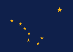
| Alaska | AK | Juneau | Anchorage | 1518,8 | 739 795 | 3 januari 1959 | Last Frontier | |
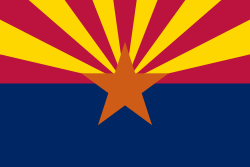
| Arizona | AZ | Phoenix | 295,3 | 7 016 270 | 14 februari 1912 | Grand Canyon State | ||
| Arkansas | AR | Little Rock | 137,8 | 3 004 279 | 15 juni 1836 | Natural State, Razorback State | ||
| Colorado | CO | Denver | 269,9 | 5 607 154 | 1 augusti 1876 | Centennial State | ||
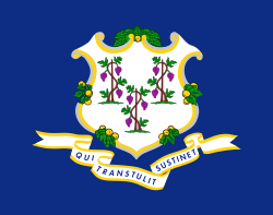
| Connecticut | CT | Hartford | Bridgeport | 13,0 | 3 588 184 | 9 januari 1788 * | Constitution State, Nutmeg State | |
| Delaware | DE | Dover | Wilmington | 5,3 | 961 939 | 7 december 1787 * | First State, Diamond State | |
| Florida | FL | Tallahassee | Jacksonville | 151,9 | 20 984 400 | 3 mars 1845 | Sunshine State | |
| Georgia | GA | Atlanta | 152,6 | 10 429 379 | 2 januari 1788 * | Empire State of the South, Peach State | ||
| Hawaii | HI | Honolulu | 16,6 | 1 427 538 | 21 augusti 1959 | Aloha State | ||
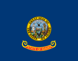
| Idaho | ID | Boise | 216,4 | 1 716 943 | 3 juli 1890 | Gem State | ||
| Illinois | IL | Springfield | Chicago | 149,9 | 12 802 023 | 3 december 1818 | Prairie State | |
| Indiana | IN | Indianapolis | 92,9 | 6 666 818 | 11 december 1816 | Hoosier State | ||
| Iowa | IA | Des Moines | 145,8 | 3 145 711 | 28 december 1846 | Hawkeye State | ||
| Kalifornien | CA | Sacramento | Los Angeles | 411,0 | 39 536 653 | 9 september 1850 | Golden State | |
| Kansas | KS | Topeka | Wichita | 213,0 | 2 913 123 | 29 januari 1861 | Sunflower State | |
| Kentucky | KY | Frankfort | Louisville | 104,6 | 4 454 189 | 1 juni 1792 | Bluegrass State | |
| Louisiana | LA | Baton Rouge | New Orleans | 125,6 | 4 684 333 | 30 april 1812 | Pelican State | |
| Maine | ME | Augusta | Portland | 86,1 | 1 335 907 | 15 mars 1820 | Pine Tree State | |
| Maryland | MD | Annapolis | Baltimore | 27,0 | 6 052 177 | 28 april 1788 * | Old Line State, Free State | |
| Massachusetts | MA | Boston | 21,4 | 6 859 819 | 6 februari 1788 * | Bay State, Old Colony | ||
| Michigan | MI | Lansing | Detroit | 151,5 | 9 962 311 | 26 januari 1837 | Great Lakes State, Wolverine State | |
| Minnesota | MN | Saint Paul | Minneapolis | 218,6 | 5 576 606 | 11 maj 1858 | North Star State, Gopher State | |
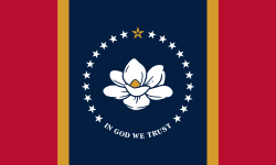
| Mississippi | MS | Jackson | 123,5 | 2 984 100 | 10 december 1817 | Magnolia State | ||
| Missouri | MO | Jefferson City | Kansas City | 180,5 | 6 113 532 | 10 augusti 1821 | Show Me State | |
| Montana | MT | Helena | Billings | 380,8 | 1 050 493 | 8 november 1889 | Treasure State | |
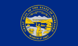
| Nebraska | NE | Lincoln | Omaha | 200,0 | 1 920 076 | 1 mars 1867 | Cornhusker State | |
| Nevada | NV | Carson City | Las Vegas | 286,2 | 2 998 039 | 31 oktober 1864 | Sagebrush State, Battle Born State, Silver State | |
| New Hampshire | NH | Concord | Manchester | 24,0 | 1 342 795 | 21 juni 1788 * | Granite State | |
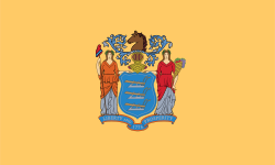
| New Jersey | NJ | Trenton | Newark | 20,2 | 9 005 644 | 18 december 1787 * | Garden State | |
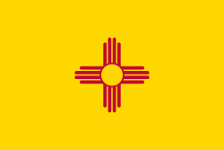
| New Mexico | NM | Santa Fe | Albuquerque | 315,1 | 2 088 070 | 6 januari 1912 | Land of Enchantment | |
| New York | NY | Albany | New York | 128,4 | 19 849 399 | 26 juli 1788 * | Empire State, Big Apple | |
| North Carolina | NC | Raleigh | Charlotte | 136,1 | 10 273 419 | 21 november 1789 * | Tar Heel State, Old North State | |
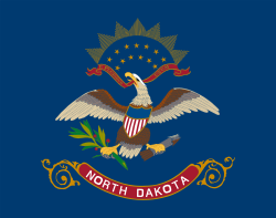
| North Dakota | ND | Bismarck | Fargo | 183,1 | 755 393 | 2 november 1889 | Peace Garden State | |
| Ohio | OH | Columbus | 106,8 | 11 658 609 | 1 mars 1803 | Buckeye State | ||
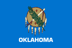
| Oklahoma | OK | Oklahoma City | 181,0 | 3 930 864 | 16 november 1907 | Sooner State | ||
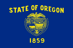
| Oregon | OR | Salem | Portland | 251,1 | 4 142 776 | 14 februari 1859 | Beaver State | |
| Pennsylvania | PA | Harrisburg | Philadelphia | 117,4 | 12 805 537 | 12 december 1787 * | Keystone State | |
| Rhode Island | RI | Providence | 3,1 | 1 059 639 | 29 maj 1790 * | Little Rhody, Ocean State | ||
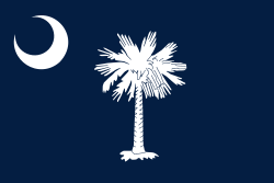
| South Carolina | SC | Columbia | Charleston | 80,4 | 5 024 369 | 23 maj 1788 * | Palmetto State | |
| South Dakota | SD | Pierre | Sioux Falls | 199,9 | 865 454 | 2 november 1890 | Mount Rushmore State, Coyote State | |
| Tennessee | TN | Nashville | Memphis | 109,4 | 6 715 984 | 1 juni 1796 | Volunteer State | |
| Texas | TX | Austin | Houston | 692,3 | 28 304 596 | 29 december 1845 | Lone Star State | |
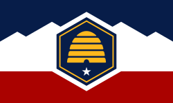
| Utah | UT | Salt Lake City | 219,9 | 3 101 833 | 4 januari 1896 | Beehive State | ||
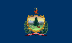
| Vermont | VT | Montpelier | Burlington | 24,8 | 623 657 | 4 mars 1791 | Green Mountain State | |
| Virginia | VA | Richmond | Virginia Beach | 105,7 | 8 470 020 | 25 juni 1788 * | Old Dominion | |
| Washington | WA | Olympia | Seattle | 176,6 | 7 405 743 | 11 november 1889 | Evergreen State | |
| West Virginia | WV | Charleston | 62,8 | 1 815 857 | 20 juni 1863 | Mountain State | ||
| Wisconsin | WI | Madison | Milwaukee | 145,4 | 5 795 483 | 29 maj 1848 | Badger State | |
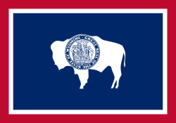
| Wyoming | WY | Cheyenne | 253,5 | 579 315 | 10 juli 1890 | Equality State | ||
* Datum när de tretton första delstaterna ratificerade USA:s konstitution
Federalt distrikt
| Flagga | Namn | Förkortning | Huvudstad | Area, tusental km² | Befolkning, tusental (år 2000) | Bildat |
|---|---|---|---|---|---|---|
| District of Columbia | DC | Washington, D.C. | 0,177 | 572 | 16 juli 1790 |
Territorier
| Flagga | Namn | Förkortning | Huvudstad | Area, tusental km² | Befolkning, tusental (år 2000) | Annekterat av USA |
|---|---|---|---|---|---|---|
| Amerikanska Jungfruöarna | VI eller USVI | Charlotte Amalie | 0,346 | 108 | 1954 | |
| Amerikanska Samoa | AS | Pago Pago | 0,199 | 57 | 1899 | |
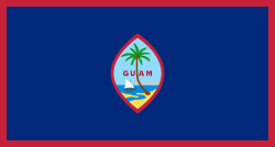
| Guam | GU | Hagåtña | 0,541 | 155 | 1898 | |
| Puerto Rico | PR | San Juan | 9,1 | 3 913 | 1898 |
| Namn | Annekterat av USA [2] | Area, km² |
|---|---|---|
| Bakerön | 1856 | 2,3 |
| Howlandön | 1858 | 1,6 |
| Jarvisön | 1856 | 5,7 |
| Johnstonatollen | 1859 | 2,6 |
| Kingmanrevet | 1860 | 0,03 |
| Midwayöarna | 1867 | 7,8 |
| Navassaön | 1858 | 7,8 |
| Palmyraatollen | 1898 | 3,9 |
| Wake Island | 1899 | 6,5 |
Anmärkningar
- Begreppet ”stat” eller ”delstat” är i huvudsak en politisk indelning.
- Fyra av delstaterna är formellt ”samvälden” (engelska: commonwealth), i och med att termen commonwealth ingår i delstatens officiella benämning (Commonwealth of Massachusetts), detta är bara en fråga om benämning och dessa fyra stater skiljer sig inte från de övriga på grund av benämningen:
- Delaware är
- en delstat, Delaware,
- ett antal countyn i olika delstater, se Delaware County, och
- en flod mellan Pennsylvania och New Jersey, se Delawarefloden.
- New York är
- en delstat, New York (delstat),
- en stad i delstaten New York, New York (på engelska City of New York), och
- ett county i delstaten New York, New York County.
- Washington är
- en delstat i nordvästra USA, Washington (delstat),
- en stad i District of Columbia, Washington, D.C.,
- ett antal andra städer i olika delstater, se Washington (olika betydelser), och
- ett antal countyn i olika delstater, se Washington County.
Se även
- USA
- USA:s countyn
- USA:s territoriella expansion
- USA:s 51:a delstat
- Etymologisk lista över USA:s delstater
Referenser
- ^ ”American FactFinder - Results” (på engelska). factfinder.census.gov. Arkiverad från originalet den 9 april 2018. https://web.archive.org/web/20180409173603/https://factfinder.census.gov/faces/tableservices/jsf/pages/productview.xhtml?pid=PEP_2017_PEPANNRES&src=pt. Läst 16 september 2018.
- ^ ”Acquisition Process of Insular Areas” (på engelska). Office of Insular Affairs. https://www.doi.gov/oia/islands/acquisitionprocess. Läst 13 september 2015.
Externa länkar
| ||||||||||||||
Media som används på denna webbplats
Författare/Upphovsman: Tkgd2007, Licens: CC BY-SA 3.0
A new incarnation of Image:Question_book-3.svg, which was uploaded by user AzaToth. This file is available on the English version of Wikipedia under the filename en:Image:Question book-new.svg
Författare/Upphovsman: TUBS
Location map of the USA (Hawaii and Alaska shown in sidemaps).
Main map: EquiDistantConicProjection : Central parallel :
* N: 37.0° N
Central meridian :
* E: 96.0° W
Standard parallels:
* 1: 32.0° N
* 2: 42.0° N
Made with Natural Earth. Free vector and raster map data @ naturalearthdata.com.
Formulas for x and y:
x = 50.0 + 124.03149777329222 * ((1.9694462586094064-({{{2}}}* pi / 180))
      * sin(0.6010514667026994 * ({{{3}}} + 96) * pi / 180))
y = 50.0 + 1.6155950752393982 * 124.03149777329222 * 0.02613325650382181
      - 1.6155950752393982  * 124.03149777329222 *
     (1.3236744353715044  - (1.9694462586094064-({{{2}}}* pi / 180))
      * cos(0.6010514667026994 * ({{{3}}} + 96) * pi / 180))
Hawaii side map: Equirectangular projection, N/S stretching 107 %. Geographic limits of the map:
- N: 22.4° N
- S: 18.7° N
- W: 160.7° W
- E: 154.6° W
Alaska side map: Equirectangular projection, N/S stretching 210.0 %. Geographic limits of the map:
- N: 72.0° N
- S: 51.0° N
- W: 172.0° E
- E: 129.0° W
Shiny red button/marker widget. Used to mark the location of something such as a tourist attraction.
Flag of California. This version is designed to accurately depict the standard print of the bear as well as adhere to the official flag code regarding the size, position and proportion of the bear, the colors of the flag, and the position and size of the star.
The flag of Minnesota, since May 11, 2024.
Författare/Upphovsman: Rocky Vaughn, Sue Anna Joe, Dominique Pugh, Clay Moss, Kara Giles, Micah Whitson and the Mississippi Department of Archives and History, Licens: Copyrighted free use
The flag of the U.S. state of Mississippi - aspect ratio of 5:3. Designed in 2020 and adopted in 2021, the "New Magnolia" flag was selected by the Commission to Redesign the Mississippi state flag in 2020.
The flag of Guam, courtesy an e-mail from the author of xrmap. Modifications by Denelson83.
The flag of Utah (2024-present). This is the final design submitted for consideration to be adopted as a new state flag of Utah. The design evokes images of snowy mountains and red rocks to represent the geography of Utah, the beehive represents "Industry" (the state's slogan) and Utah's nickname as "the Beehive State".
Flag of Oregon (obverse): The flag was adopted by the state on February 26, 1925.[1] The state seal was decided in 1903.[2][3]
Författare/Upphovsman:
The original was edited by Andrew c to include Nova Scotia, PEI, Bahamas, and scale key.
It was originally uploaded to the English Wikipedia with the same title by Wapcaplet:
- 20:57, 9 October 2005 . . Dbenbenn . . 959x593 (339217 bytes) (fix South Carolina label)
- 20:27, 9 October 2005 . . Dbenbenn . . 959x593 (339227 bytes) (typo, Massachussetts -> Massachusetts)
- 19:01, 9 October 2005 . . Dbenbenn . . 959x593 (371653 bytes) (crop, and remove some shapes (rivers, highways, capitals, lakes) that didn't display anyway)
- 13:18, 23 September 2005 . . Ed g2s . . 990x855 (978668 bytes) (fix (removed <image /> tag))
- 23:48, 23 September 2004 . . Wapcaplet . . 0x0 (978926 bytes) (SVG map of the United States. Created by Wapcaplet. {{GFDL} })
A map of the United States, with state names (and Washington D.C.).
Flag of the State of Nevada. The flag is described in Nevada Revised Statutes Chapter 235, Sec. 20 as follows: The body of the flag must be of solid cobalt blue. On the field in the upper left quarter thereof must be two sprays of Sagebrush with the stems crossed at the bottom to form a half wreath. Within the sprays must be a five-pointed silver star with one point up. The word “Nevada” must also be inscribed below the star and above the sprays, in a semicircular pattern with the letters spaced apart in equal increments, in the same style of letters as the words “Battle Born.” Above the wreath, and touching the tips thereof, must be a scroll bearing the words “Battle Born.” The scroll and the word “Nevada” must be golden-yellow. The lettering on the scroll must be black-colored sans serif gothic capital letters.
The greater coat of arms of the United States of America, as depicted on passports, embassies and the Great Seal.
