Lakkíon
| Lakkíon | |
| Portolago, Temania, Port Laki, Lakkí | |
| Ort | |
Strandpromenaden i Lakkion | |
| Officiellt namn: Λακκίον | |
| Land | |
|---|---|
| Region | Sydegeiska öarna |
| Prefektur | Nomós Dodekanísou |
| Höjdläge | 6 m ö.h. |
| Koordinater | 37°08′00″N 26°51′00″Ö / 37.13333°N 26.85°Ö |
| Folkmängd | 1 956 (2012-01-18)[1] |
| Tidszon | EET (UTC+2) |
| - sommartid | EEST (UTC+3) |
| Geonames | 258672 |
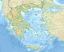
Läge i Grekland | |
Lakkíon, under den italienska ockupationen Portolago, är en tätort vid kusten på Leros i Grekland.[1]
Källor
Noter
- ^ [a b] Lakkíon hos Geonames.org (cc-by); post uppdaterad 2012-01-18; databasdump nerladdad 2015-05-23
Media som används på denna webbplats
Författare/Upphovsman:
- Greece_location_map.svg: Lencer / derivative work: Uwe Dedering (talk)
Location map of Greece
Shiny red button/marker widget. Used to mark the location of something such as a tourist attraction.
Lakki seafront. Lakki was the former Portolago, the 1930s new model town, built by the Italian authorities. It is one of the best examples of Italian Rationalist architecture.


