La Fortuna
La Fortuna kan syfta på följande platser:
Costa Rica
Mexiko
- La Fortuna, Las Margaritas, 16°26′09″N 91°29′49″V / 16.43583°N 91.49694°V
- La Fortuna, San Luis Potosí, Tamazunchale, 21°15′15″N 98°48′41″V / 21.25417°N 98.81139°V
- La Fortuna, Guanajuato, Doctor Mora, 21°08′11″N 100°20′35″V / 21.13639°N 100.34306°V
- La Fortuna, Sinaloa, 25°57′10″N 109°05′41″V / 25.95278°N 109.09472°V
- La Fortuna, Guerrero, 16°36′38″N 99°02′16″V / 16.6105°N 99.03769°V
- La Fortuna, Las Rosas, 16°19′30″N 92°18′56″V / 16.325°N 92.31556°V
| Det här är en förgreningssida som listar artiklar associerade med titeln La Fortuna. Om du kom hit via en wikilänk, får du gärna ändra länken så att den hänvisar direkt till den avsedda sidan. |
Media som används på denna webbplats
Shiny blue button/marker widget.
(c) Baumst, CC BY-SA 3.0
Disambiguation icon – gray scale version (author: Stephan Baum).
Författare/Upphovsman: Sémhur, Licens: CC BY-SA 4.0
Map of Mexico, with states borders.
(c) Eric Gaba – Wikimedia Commons user: Sting, CC BY-SA 4.0
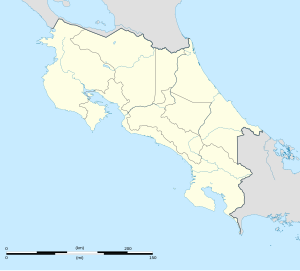
Blank map of Costa Rica for geo-location purpose.
Note: The Isla del Coco, out of the map, is not shown.
Scale: 1:1,856,000 (accuracy: 464 m).
Equirectangular projection centered on 9°30'N – 84°15'W, WGS84 datum
Geographic limits of the map:
* West: 86°30'W
* East: 82°W
* North: 11°30'N
* South: 7°30'N


