Kouilou-Niari
| Kouilou-Niari | |
| Kouilou, Kuilu, Kwilou, Kwilu, Niari, Douo, N'douo | |
| Vattendrag | |
| Land | |
|---|---|
| Departement | Pool, Bouenza, Lékoumou, Niari, Kouilou |
| Koordinater | 4°28′15″S 11°41′56″Ö / 4.47083°S 11.69889°Ö |
| Tidszon | WAT (UTC+1) |
| Geonames | 2258739 |
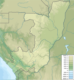
Kouilou-Niari är en flod i Kongo-Brazzaville. Det översta loppet kallas Douo eller N'douo, efter sammanflödet med Djouéké används namnet Niari, och efter sammanflödet med Louessé Kouilou.[1]
Källor
- ^ Vennetier, Pierre (1966) (på franska) (PDF). Géographie du Congo-Brazzaville. Publications du Centre d'enseignement supérieur Brazzaville. Paris: Gauthier-Villars. sid. 45–46. https://horizon.documentation.ird.fr/exl-doc/pleins_textes/divers11-11/01471.pdf
Media som används på denna webbplats
Shiny red button/marker widget. Used to mark the location of something such as a tourist attraction.
Kouilou river near Sounda
Författare/Upphovsman: Urutseg, Licens: CC0
Map of the Republic of the Congo, parameters equivalent to File:Congo location map.svg


