Kone (olika betydelser)
Kone kan syfta på följande:
Företag
- Kone, finländsk hisstillberkare
- Konecranes, finländsk tillverkare av materialhanteringsutrustning
Platser
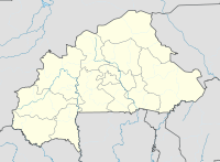
Burkina Faso
- Koné, Centre-Ouest, 12°22′00″N 2°04′00″V / 12.36667°N 2.06667°V
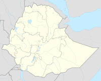
Etiopien
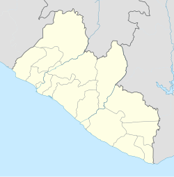
Liberia
- Gola Konneh, distrikt, Grand Cape Mount County, 7°09′55″N 10°54′14″V / 7.1654°N 10.90379°V
Nya Kaledonien
- Koné (vattendrag), 21°05′00″S 164°48′00″Ö / 21.08333°S 164.8°Ö
- Koné (provinshuvudstad), Province Nord, 21°03′34″S 164°51′57″Ö / 21.05951°S 164.86582°Ö
Media som används på denna webbplats
Shiny blue button/marker widget.
Logo for disambiguation pages.
(c) Karte: NordNordWest, Lizenz: Creative Commons by-sa-3.0 de
Location map of Ethiopia
Författare/Upphovsman: Uwe Dedering, Licens: CC BY-SA 3.0
Location map of Liberia Equirectangular projection. Strechted by 101.0%. Geographic limits of the map:
- N: 8.8° N
- S: 4.0° N
- W: -11.8° E
- E: -7.0° E
Författare/Upphovsman: Uwe Dedering, Licens: CC BY-SA 3.0
Location map of Burkina Faso Equirectangular projection. Strechted by 102%. Geographic limits of the map:
  * N: 15.5° N
  * S: 9° N
  * W: 6° W
  * E: 3° E
Made with Natural Earth. Free vector and raster map data @ naturalearthdata.com.
Författare/Upphovsman: Eric Gaba (Sting - fr:Sting), Licens: CC BY-SA 3.0
Blank administrative map of the territorial collectivity of New Caledonia, France, for geo-location purpose.
This is a map centered on the main islands. For a general map allowing to geo-locate the remote islands, see below.


