Kolstad
| Den här artikeln behöver källhänvisningar för att kunna verifieras. (2022-05) Åtgärda genom att lägga till pålitliga källor (gärna som fotnoter). Uppgifter utan källhänvisning kan ifrågasättas och tas bort utan att det behöver diskuteras på diskussionssidan. |
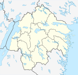
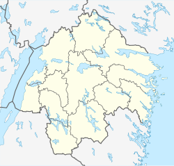
Kolstad är en by i Risinge socken i Finspångs kommun som vuxit upp kring Kolstads säteri. Kolstad ligger längs med riksväg 51 mellan Norrköping och Finspång, strax nordväst om Svärtinge.
Se även
Referenser
| ||||||||||||||||
Media som används på denna webbplats
Författare/Upphovsman: Tkgd2007, Licens: CC BY-SA 3.0
A new incarnation of Image:Question_book-3.svg, which was uploaded by user AzaToth. This file is available on the English version of Wikipedia under the filename en:Image:Question book-new.svg
Shiny red button/marker widget. Used to mark the location of something such as a tourist attraction.
Författare/Upphovsman: Erik Frohne, Licens: CC BY 3.0
Location map of Östergötland County in Sweden
Equirectangular projection, N/S stretching 190 %. Geographic limits of the map:
- N: 59.10° N
- S: 57.60° N
- W: 14.20° E
- E: 17.20° E


