Kangerluk
Kangerluk (danskt namn: Diskofjord) är en bosättning (danska: bygd) på Diskoön, i kommunen Qaasuitsup, Grönland. Kangerluk ligger cirka 35 km norr om tätorten Qeqertarsuaq (Godhavn) och har 22 invånare (2015).
Media som används på denna webbplats
Författare/Upphovsman: Uwe Dedering, Licens: CC BY-SA 3.0
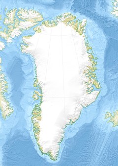
Relief location map of Greenland.
- Projection: EquiDistantConicProjection.
- Area of interest:
- N: 85.0° N
- S: 59.0° N
- W: -75.0° E
- E: -10.0° E
- Projection center:
- NS: 72.0° N
- WE: -42.5° E
- Standard parallels:
- 1: 64.0° N
- 2: 80.0° N
- GMT projection: -JD-42.5/72/64/80/20c
- GMT region: -R-60.16/57.61/24.5/79.91r
- GMT region for grdcut: -R-120.24/57.61/24.5/85.78r
- Relief: SRTM30plus.
- Made with Natural Earth. Free vector and raster map data @ naturalearthdata.com.
Shiny red button/marker widget. Used to mark the location of something such as a tourist attraction.
(c) Kelisi from en.wikipedia.org, CC BY-SA 3.0
A map showing Disko Island and nearby areas. This map's source is here, with the uploader's modifications, and the GMT homepage says that the tools are released under the GNU General Public License.


