Frankland Islands
| Den här artikeln har skapats av Lsjbot, ett program (en robot) för automatisk redigering. (2015-12) Artikeln kan innehålla fakta- eller språkfel, eller ett märkligt urval av fakta, källor eller bilder. Mallen kan avlägsnas efter en kontroll av innehållet (vidare information) |
| Frankland Islands | |
| Öar | |
| Land | |
|---|---|
| Delstat | Queensland |
| Koordinater | 17°12′01″S 146°03′01″Ö / 17.20028°S 146.05028°Ö |
| Tidszon | AEST (UTC+10) |
| Geonames | 2166163 |
Frankland Islands är öar i Australien.[1] De ligger i delstaten Queensland, omkring 1 300 kilometer nordväst om delstatshuvudstaden Brisbane.
Källor
- ^ Frankland Islands hos GeoNames.Org (cc-by); post uppdaterad 2012-01-18; databasdump nerladdad 2015-12-01
Media som används på denna webbplats
Robot icon
Författare/Upphovsman: , Licens: CC BY-SA 3.0
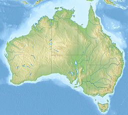
Relief map of Australia, including the borders of the states of the Commonwealth of Australia
Shiny red button/marker widget. Used to mark the location of something such as a tourist attraction.


