Fosse (olika betydelser)
Fosse kan syfta på:
Geografi
Frankrike
Fosse i Frankrike. |
- Fossé, Loir-et-Cher, kommun, Département du Loir-et-Cher, 47°38′01″N 1°17′02″Ö / 47.63349°N 1.28395°Ö
- Fosse, kommun, Département des Pyrénées-Orientales, 42°47′18″N 2°25′52″Ö / 42.78833°N 2.43111°Ö
- Fossé, Ardennes, kommun, Département des Ardennes, 49°26′46″N 5°00′18″Ö / 49.44611°N 5.005°Ö
Italien
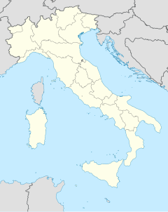
Fosse i Italien. |
- Fosse (ort i Italien, Veneto, Provincia di Verona), 45°38′44″N 10°56′16″Ö / 45.64545°N 10.93788°Ö
- Fosse (ort i Italien, Veneto, Provincia di Vicenza), 45°56′36″N 11°42′54″Ö / 45.94344°N 11.71501°Ö
| Det här är en förgreningssida som listar artiklar associerade med titeln Fosse. Om du kom hit via en wikilänk, får du gärna ändra länken så att den hänvisar direkt till den avsedda sidan. |
Media som används på denna webbplats
Shiny blue button/marker widget.
(c) Baumst, CC BY-SA 3.0
Disambiguation icon – gray scale version (author: Stephan Baum).
Författare/Upphovsman: NordNordWest, Licens: CC BY-SA 3.0
Location map of Italy (Commons photos) → en-Wikipedia Italy.
Författare/Upphovsman: Superbenjamin, Licens: CC BY-SA 4.0
Blank administrative map of France for geo-location purpose, with regions. Approximate scale : 1:3,000,000


