Flores
Flores eller flores (latin för blommor) kan avse:
Geografi
Brasilien
- Timon, Maranhão, ort, 5°05′39″S 42°50′12″V / 5.09417°S 42.83667°V
- Flores (ort i Brasilien, Pernambuco, Flores), 7°52′05″S 37°58′29″V / 7.86806°S 37.97472°V
- Flores (kommun), Pernambuco, 7°55′51″S 37°55′15″V / 7.93091°S 37.92081°V
Guatemala
- Flores Costa Cuca, ort, Departamento de Quetzaltenango, 14°37′57″N 91°51′48″V / 14.63238°N 91.86341°V
- Municipio de Flores, kommun, 16°55′26″N 89°53′50″V / 16.92381°N 89.89709°V
- Flores (departementshuvudort), Petén, Municipio de Flores, 16°55′21″N 89°53′58″V / 16.92258°N 89.89941°V
Honduras
- Flores (ort i Honduras), Departamento de Comayagua, 14°17′00″N 87°34′00″V / 14.28333°N 87.56667°V
Indonesien
- Flores, Indonesien, ö, Nusa Tenggara Timur, 8°37′25″S 121°07′44″Ö / 8.62354°S 121.12899°Ö
- Floreshavet, hav, 8°S 121°Ö / 8°S 121°Ö
Mexiko
- Flores, Oaxaca, ort, Santa María Tlahuitoltepec, 17°06′13″N 96°06′39″V / 17.10361°N 96.11083°V
Portugal
- Flores (Portugal), Azorerna, Santa Cruz Das Flores, 39°26′42″N 31°12′15″V / 39.44494°N 31.20426°V
Uruguay
Media som används på denna webbplats
Shiny blue button/marker widget.
Författare/Upphovsman: Addicted04, Licens: CC BY-SA 3.0
Location map of Honduras.
Geographic limits of the map:
* West : 269.50 W
* East : 89.00W
* North : 24.00N
* South : 180.00N
Författare/Upphovsman: Sémhur, Licens: CC BY-SA 4.0
Map of Mexico, with states borders.
Logo for disambiguation pages.
Författare/Upphovsman:
- Guatemala Departments.svg: Daryona
- Mexico location map.svg: NordNordWest
- härlett verk: Spischot
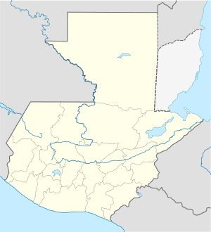
Location map of Guatemala
Författare/Upphovsman: NordNordWest, Licens: CC BY-SA 3.0
Location map of Brazil
Författare/Upphovsman: en:User:Indon, Licens: CC BY-SA 3.0
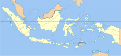
Indonesia provinces blank map
Författare/Upphovsman:
- Argentina_location_map.svg: NordNordWest
- Uruguay_departments_blank.svg: NielsF|talk/overleg/discussion/discussione 22:08, 23 November 2006 (UTC)
- derivative work: Spischot (talk)
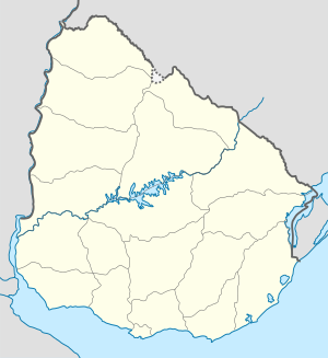
Location map of Uruguay
Författare/Upphovsman: NordNordWest, Licens: CC BY-SA 3.0
Location map of Portugal


