Cornelia, Georgia
| Cornelia | |
| city | |
Ett monument som föreställer ett stort rött äpple. Cornelia kallas Home of the Big Red Apple. | |
| Land | |
|---|---|
| Delstat | Georgia |
| County | Habersham County |
| Höjdläge | 453 m ö.h. |
| Koordinater | 34°30′41″N 83°31′38″V / 34.51139°N 83.52722°V |
| Yta | 10,87 km² (2020) |
| - land | 10,75 km² |
| - vatten | 0,12 km² |
| Folkmängd | 4 503 (2020) |
| Befolkningstäthet | 419 invånare/km² |
| Tidszon | EST (UTC-5) |
| - sommartid | EDT (UTC-4) |
| ZIP-kod | 30531 |
| Riktnummer | 706 |
| FIPS | 1319728 |
| Geonames | 4189529 |
Cornelias läge i Georgia. | |
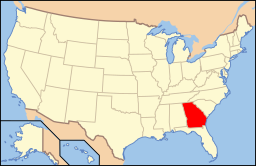
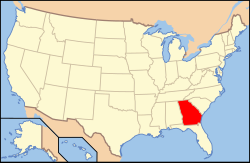
Georgias läge i USA. | |
Cornelia är en stad i Habersham County i Georgia.[1] Vid 2020 års folkräkning hade Cornelia 4 503 invånare.[2]
Källor
- ^ Cornelia, GA. Map Quest. Läst 10 februari 2024.
- ^ 2020 Census Count by Georgia City Population. Georgia General Assembly. Läst 10 februari 2024.
|
Media som används på denna webbplats
Shiny red button/marker widget. Used to mark the location of something such as a tourist attraction.
Författare/Upphovsman: Thomson200, Licens: CC0
Big Red Apple in Cornelia, Georgia
Författare/Upphovsman: Alexrk2, Licens: CC BY 3.0
Den här Det karta skapades med GeoTools.
Författare/Upphovsman: This version: uploader
Base versions this one is derived from: originally created by en:User:Wapcaplet, Licens: CC BY 2.0
Map of USA with Georgia highlighted


