Charlestown, Rhode Island
| Charlestown | |
| Kommun (town) | |
| Land | |
|---|---|
| Delstat | |
| County | Washington County |
| Höjdläge | 18 m ö.h. |
| Koordinater | 41°23′7″N 71°40′5″V / 41.38528°N 71.66806°V |
| Area | 153,59 km² |
| Folkmängd | 7 997 (2020)[1] |
| Befolkningstäthet | 52 invånare/km² |
| Tidszon | EST (UTC-5) |
| - sommartid | EDT (UTC-4) |
| ZIP-kod | 02813 |
| Riktnummer | 401 |
| GNIS-kod | 1220080 |
| Geonames | 5221384 |
Översiktskarta | |
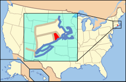
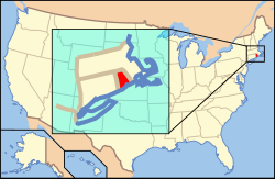
Rhode Islands läge i USA | |
| Wikimedia Commons: Charlestown, Rhode Island | |
| Webbplats: http://www.charlestownri.org | |
| Redigera Wikidata | |
Charlestown, kommun (town) i Washington County, Rhode Island, USA med cirka 7 859 invånare (2000). Den har enligt United States Census Bureau en area på 153,6 km².

Referenser
- ^ United States Census Bureau (red.), USA:s folkräkning 2020, läs online, läst: 1 januari 2022.[källa från Wikidata]
Externa länkar
 Wikimedia Commons har media som rör Charlestown, Rhode Island.
| ||||||||||
Media som används på denna webbplats
Författare/Upphovsman: JERRYE & ROY KLOTZ, M.D., Licens: CC BY-SA 4.0
The Babcock House, AKA Whistling Chimneys, located at 163 Sunset Street in Charlestown, Rhode Island. Built circa 1675 to 1713 possibly by a member of the Stanton family.
Författare/Upphovsman: This version: uploader
Base versions this one is derived from: originally created by en:User:Wapcaplet, Licens: CC BY 2.0
Map of USA with Rhode Island highlighted
Författare/Upphovsman: JERRYE & ROY KLOTZ, M.D., Licens: CC BY-SA 4.0
Built c. 1838 in the Quonochontaug area but was moved to this location near the Charlestown Library in 1973. It is the best preserved of Charlestown’s eight 19th century schoolhouses.


