Brunneby
| Brunneby | |
| By | |
| Land | |
|---|---|
| Landskap | Östergötland |
| Län | Östergötlands län |
| Kommun | Motala kommun |
| Koordinater | 58°32′26″N 15°19′35″Ö / 58.54056°N 15.32639°Ö |
| Tidszon | CET (UTC+1) |
| - sommartid | CEST (UTC+2) |
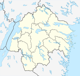
Brunnebys läge i Östergötlands län | |
Brunneby var till 1830 kyrkby i Brunneby socken och är en mindre ort i Motala kommun, Östergötlands län, invid Göta kanal och Brunnby sluss.
I Brunneby ligger Brunneby kyrka, återinvigd 1977 och Brunneby herrgård. Även finns här Brunneby musteri som bland annat tillverkar cider, sylt, must och marmelad.
Media som används på denna webbplats
Författare/Upphovsman: Erik Frohne, Licens: CC BY 3.0
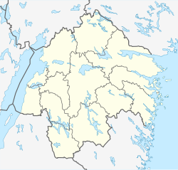
Location map of Östergötland County in Sweden
Equirectangular projection, N/S stretching 190 %. Geographic limits of the map:
- N: 59.10° N
- S: 57.60° N
- W: 14.20° E
- E: 17.20° E
Shiny red button/marker widget. Used to mark the location of something such as a tourist attraction.


