Ayina
| Ayina | |
| Aïna, Ajina, Ain, Aghuiné, Aïn Ayna | |
| Vattendrag | |
| Länder | |
|---|---|
| Provins, region, departement | Woleu-Ntem, Södra regionen, Sangha |
| Koordinater | 1°12′58″N 13°11′31″Ö / 1.216°N 13.192°Ö |
| Tidszon | WAT (UTC+1) |
| Geonames | 2261181 |
Ayina är ett vattendrag längs Gabons gräns mot Kamerun och Kongo-Brazzaville, som tillsammans med Djoua bildar Ivindo.[1]
Källor
- ^ Loungou, Serge (1999). ”La frontière nord du Gabon : une brève étude de géographie politique” (på franska). Espace Populations Sociétés (3): sid. 439–449. https://www.persee.fr/doc/espos_0755-7809_1999_num_17_3_1909. Läst 7 januari 2021.
Media som används på denna webbplats
Shiny red button/marker widget. Used to mark the location of something such as a tourist attraction.
Författare/Upphovsman: Urutseg, Licens: CC0
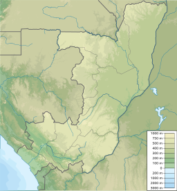
Map of the Republic of the Congo, parameters equivalent to File:Congo location map.svg


