Albertville (olika betydelser)
Albertville kan syfta på:
Geografi
Frankrike
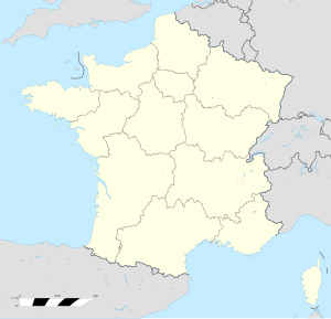
- Albertville, en kommun i departementet Savoie i regionen Auvergne-Rhône-Alpes, 45°40′33″N 6°23′33″Ö / 45.67583°N 6.3925°Ö
Kanada
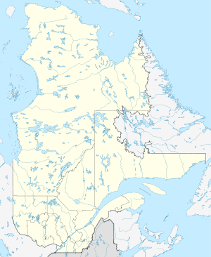
- Albertville, Québec, kommun i Bas-Saint-Laurent, 48°19′20″N 67°22′09″V / 48.32226°N 67.3693°V
Kongo-Kinshasa
- Kalemie, ort i Haut-Katanga, 5°56′51″S 29°11′41″Ö / 5.94749°S 29.19471°Ö
USA
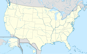
- Albertville, Alabama, ort i Marshall County, 34°16′03″N 86°12′32″V / 34.26759°N 86.20887°V
- Albertville, Minnesota, ort i Wright County, 45°14′16″N 93°39′16″V / 45.23774°N 93.65441°V
Media som används på denna webbplats
Shiny blue button/marker widget.
Författare/Upphovsman: TUBS
Location map of the USA (Hawaii and Alaska shown in sidemaps).
Main map: EquiDistantConicProjection : Central parallel :
* N: 37.0° N
Central meridian :
* E: 96.0° W
Standard parallels:
* 1: 32.0° N
* 2: 42.0° N
Made with Natural Earth. Free vector and raster map data @ naturalearthdata.com.
Formulas for x and y:
x = 50.0 + 124.03149777329222 * ((1.9694462586094064-({{{2}}}* pi / 180))
      * sin(0.6010514667026994 * ({{{3}}} + 96) * pi / 180))
y = 50.0 + 1.6155950752393982 * 124.03149777329222 * 0.02613325650382181
      - 1.6155950752393982  * 124.03149777329222 *
     (1.3236744353715044  - (1.9694462586094064-({{{2}}}* pi / 180))
      * cos(0.6010514667026994 * ({{{3}}} + 96) * pi / 180))
Hawaii side map: Equirectangular projection, N/S stretching 107 %. Geographic limits of the map:
- N: 22.4° N
- S: 18.7° N
- W: 160.7° W
- E: 154.6° W
Alaska side map: Equirectangular projection, N/S stretching 210.0 %. Geographic limits of the map:
- N: 72.0° N
- S: 51.0° N
- W: 172.0° E
- E: 129.0° W
Logo for disambiguation pages.
(c) Uwe Dedering på tyska Wikipedia, CC BY 3.0
Location map of Democratic Republic of the Congo
Equirectangular projection. Strechted by 100.0%. Geographic limits of the map:
- N: 6.0° N
- S: -14.0° N
- W: 11.0° E
- E: 32.0° E
Made with Natural Earth. Free vector and raster map data @ naturalearthdata.com.
A new map with the 26 provinces (since 2015) is available here.Författare/Upphovsman: NordNordWest, Licens: CC BY-SA 3.0
Location map of Quebec, Canada
Författare/Upphovsman: Superbenjamin, Licens: CC BY-SA 4.0
Blank administrative map of France for geo-location purpose, with regions. Approximate scale : 1:3,000,000


