Abala (distrikt)
| Abala | |
| Distrikt | |
| Land | |
|---|---|
| Departement | Plateaux |
| Höjdläge | 437 m ö.h. |
| Koordinater | 1°19′58″S 15°31′16″Ö / 1.33268°S 15.52106°Ö |
| Tidszon | WAT (UTC+1) |
| Geonames | 7870660 |
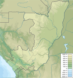
Abala är ett distrikt i Kongo-Brazzaville.[1] Det ligger i departementet Plateaux, i den centrala delen av landet, 300 km norr om huvudstaden Brazzaville.
Källor
- ^ ”Chapitre 3 : Organisation administrative”. Annuaire statistique du Congo 2018. Brazzaville: Institut national de la statistique. 2020. sid. 12. Arkiverad från originalet den 21 april 2021. https://web.archive.org/web/20210421192403/https://ins-congo.org/annuaire-statistique/. Läst 13 oktober 2021
Media som används på denna webbplats
Shiny red button/marker widget. Used to mark the location of something such as a tourist attraction.
Författare/Upphovsman: Urutseg, Licens: CC0
Map of the Republic of the Congo, parameters equivalent to File:Congo location map.svg


