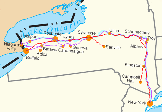
Water Level Route on US map cropped
Författare/Upphovsman:
Kreditera:
Eget arbete
Kort länk:
Källa:
Upplösning:
675 x 466 Pixel (180671 Bytes)
Beskrivning:
Water Level Routes of the New York Central Railroad, West Shore Railroad and Erie Canal on Image:US state outline map.png. See Image:Water Level Route on US map.png for the full U.S.
Licens:
Public domain
Mer information om licensen för bilden finns här. Senaste uppdateringen: Wed, 04 Sep 2024 14:44:40 GMT
