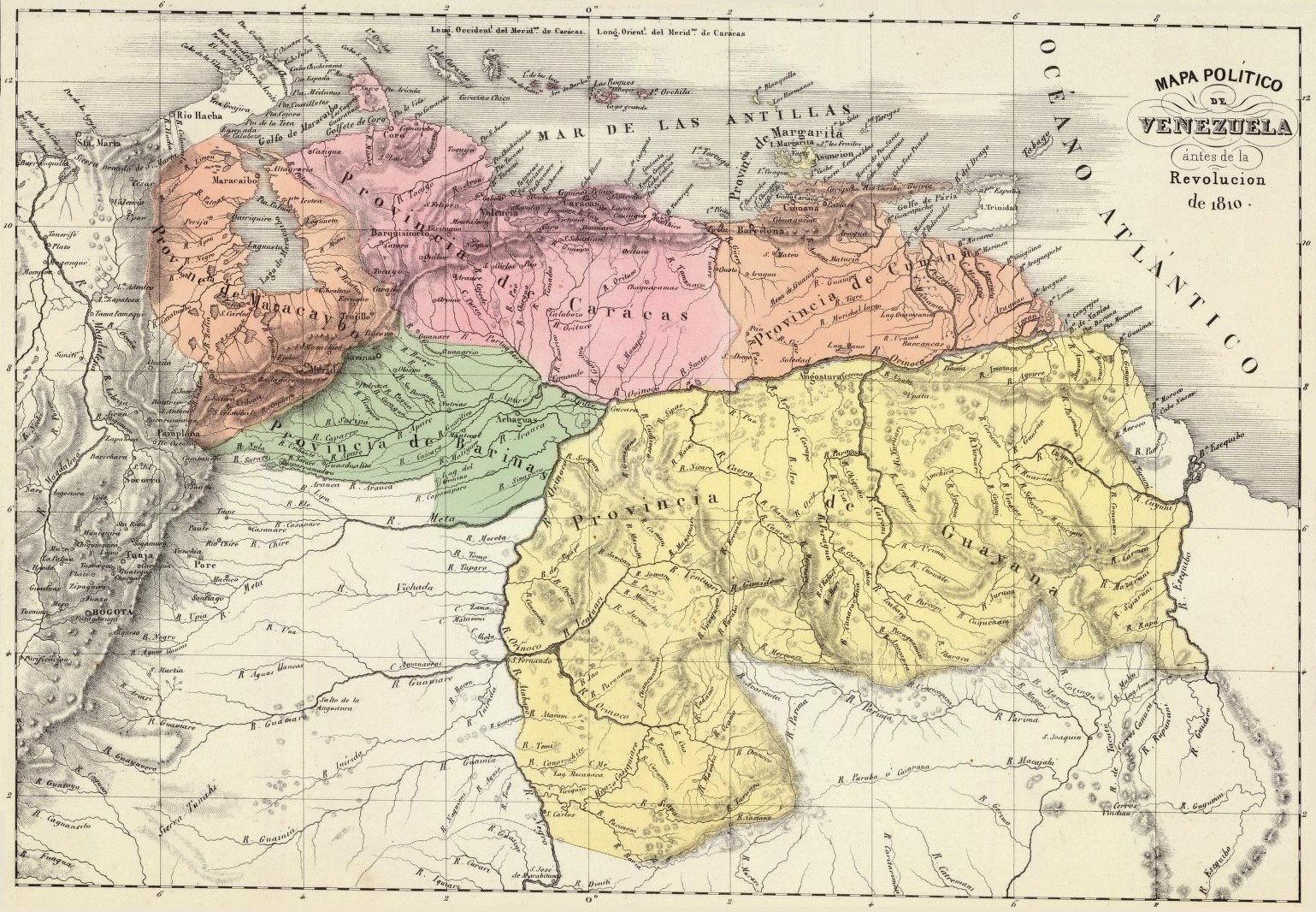
Venezuela en 1810
Författare/Upphovsman:
Kort länk:
Källa:
Upplösning:
1539 x 1066 Pixel (699581 Bytes)
Beskrivning:
Political map of Venezuela in 1810. Taken from the "Physical and Political Atlas of the Republic of Venezuela", by Agustín Codazzi, 1840.
Licens:
Public domain
Mer information om licensen för bilden finns här. Senaste uppdateringen: Mon, 02 Oct 2023 02:00:58 GMT