USATopographicalMap
Författare/Upphovsman:
U.S. Dept. of Commerce/National Climactic Data Center/NOAA Satellite and Information Service
Kort länk:
Källa:
Upplösning:
3199 x 2107 Pixel (11728866 Bytes)
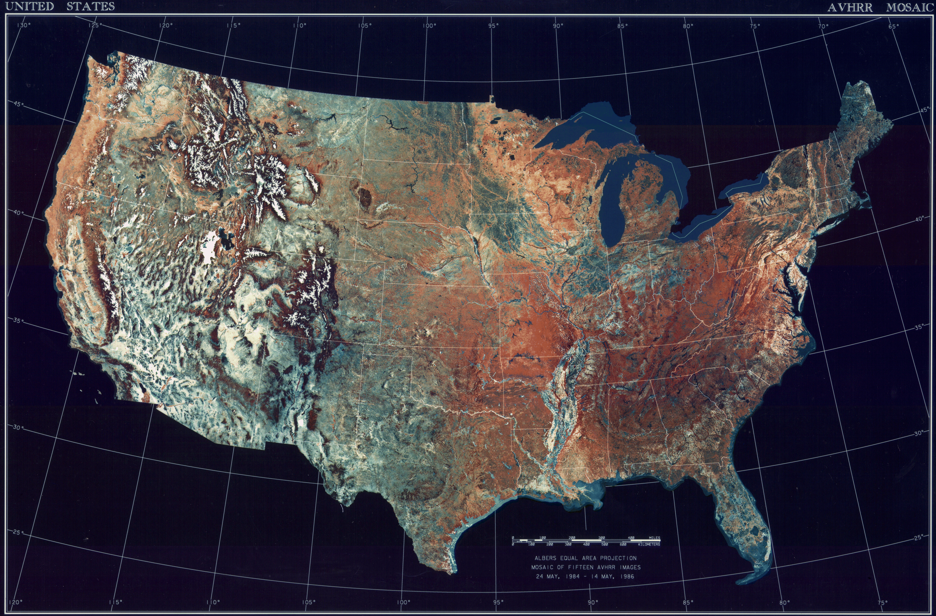
Beskrivning:
Licens:
Public domain
Mer information om licensen för bilden finns här. Senaste uppdateringen: Tue, 16 Apr 2024 11:37:21 GMT