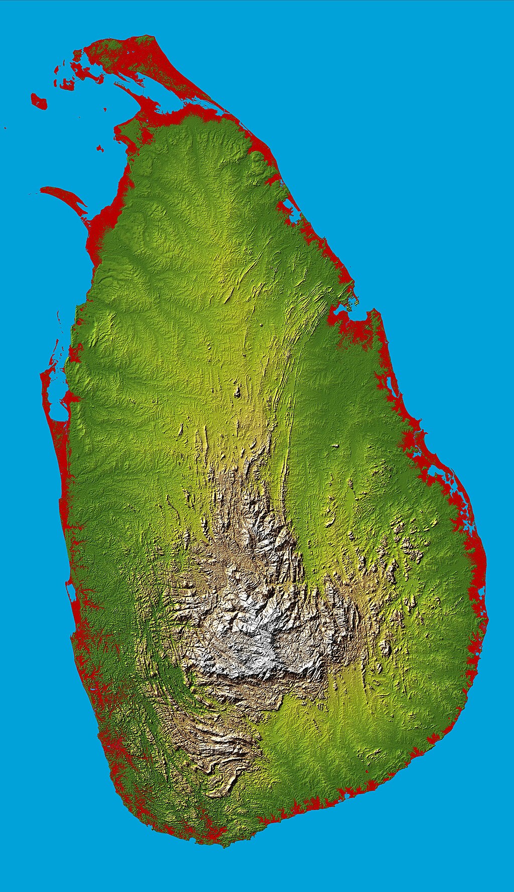
Topography Sri Lanka
Författare/Upphovsman:
Kort länk:
Källa:
Upplösning:
3000 x 5200 Pixel (3424894 Bytes)
Beskrivning:
Topography of Sri Lanka, obtained from the Shuttle Radar Topography Mission of STS-99, aboard the Space Shuttle Endeavour. Heights below 10 meters (33 feet) above sea level have been colored red.
Licens:
Public domain
Mer information om licensen för bilden finns här. Senaste uppdateringen: Sun, 22 Sep 2024 10:00:34 GMT
