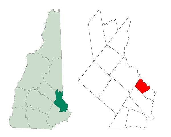
Strafford-Somersworth-NH
Författare/Upphovsman:
Andrew Sawyer
Tillskrivning:
Bilden är taggad "Attribution Required" men ingen tillskrivningsinformation lämnades. Attributionsparametern utelämnades troligen när MediaWiki-mallen användes för CC-BY-licenserna. Författare och upphovsmän hittar ett exempel för korrekt användning av mallarna här.
Kreditera:
Created from Boundary/Border Outline Files of the Libre Map Project which held a BY-SA creative commons license. Data origionally from 2000 US Census boundary data.
Kort länk:
Källa:
Upplösning:
600 x 481 Pixel (11426 Bytes)
Beskrivning:
Created from Boundary/Border Outline Files of the Libre Map Project which held a BY-SA creative commons license. Data origionally from 2000 US Census boundary data.
Licens:
Licenskommentaren:
Own work, attribution required (Multi-license with GFDL and Creative Commons CC-BY 2.5)
Licensvillkor:
Creative Commons Attribution 2.5
Mer information om licensen för bilden finns här. Senaste uppdateringen: Mon, 16 Sep 2024 06:12:54 GMT
