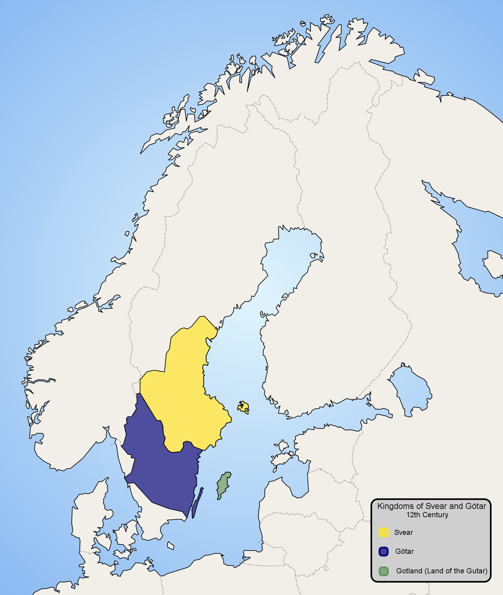
Scandinavia-12th century
Författare/Upphovsman:
Kreditera:
Eget arbete
Kort länk:
Källa:
Upplösning:
1650 x 1950 Pixel (348184 Bytes)
Beskrivning:
Licens:
Public domain
Mer information om licensen för bilden finns här. Senaste uppdateringen: Fri, 19 Apr 2024 02:59:35 GMT