Raionul Hincesti location map
Författare/Upphovsman:
Kreditera:
Topographic data SRTM from NASA and World Imagery & 3DEM & Inkscape
Kort länk:
Källa:
Upplösning:
1125 x 1441 Pixel (457921 Bytes)
Beskrivning:
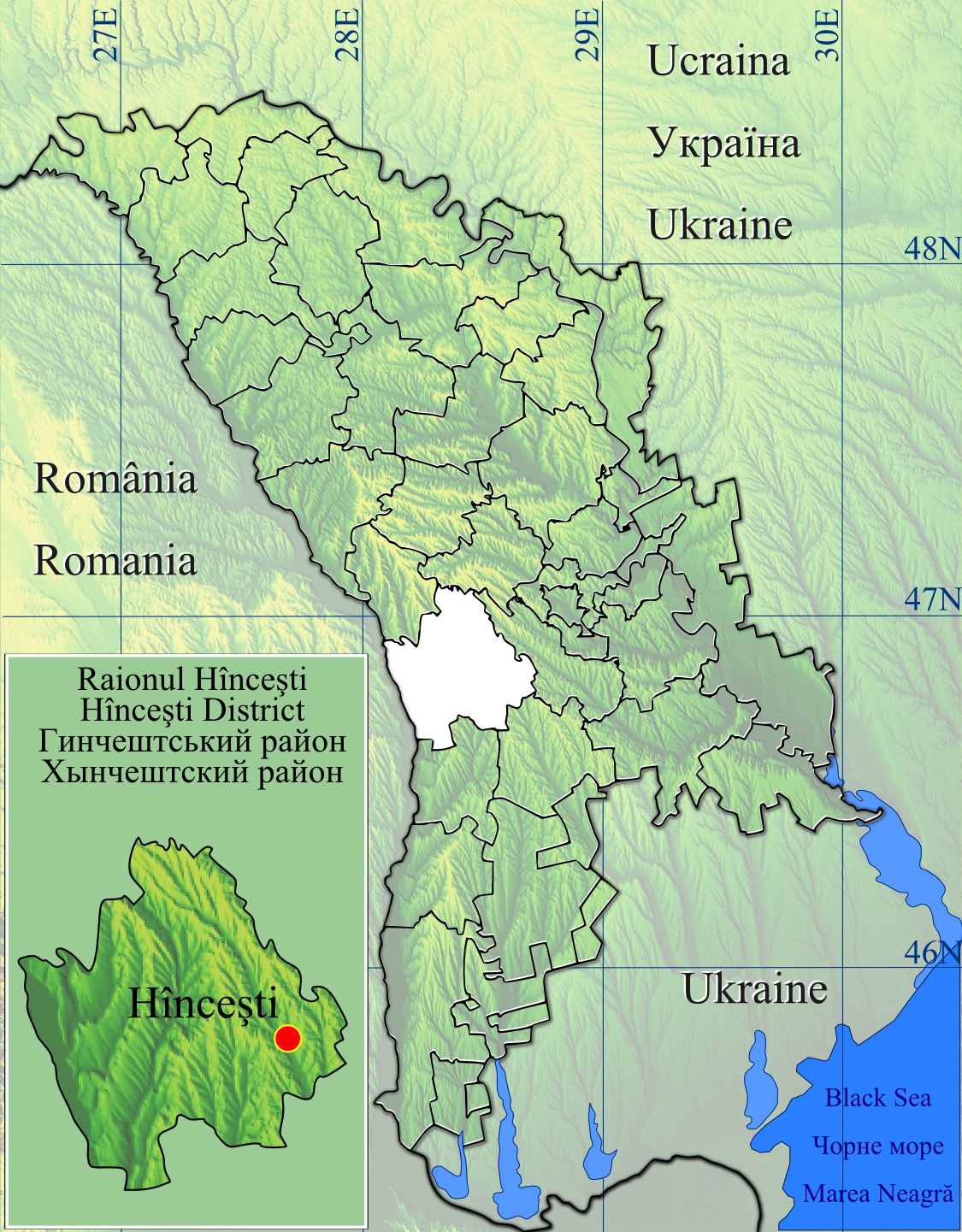
Raionul Hincesti location map.
- Geographic limits of the map :
- Left : 26.5 E
- Right : 30.5 E
- Top : 48.75 N
- Bottom : 45.25 N
Licens:
Public domain
Mer information om licensen för bilden finns här. Senaste uppdateringen: Sun, 22 Sep 2024 17:32:12 GMT