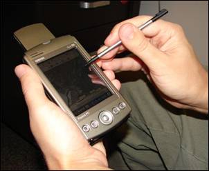
PDA Mapping
Författare/Upphovsman:
US Geological Survey: Nathan Wood
Kreditera:
Advanced GIS-Based Field Mapping Techniques for Multi-Disciplinary Research: http://geography.wr.usgs.gov/science/mapping.html
Kort länk:
Källa:
Upplösning:
302 x 248 Pixel (12253 Bytes)
Beskrivning:
A handheld computer with GPS and GIS software is often used for scientific field work.
Licens:
Public domain
Mer information om licensen för bilden finns här. Senaste uppdateringen: Tue, 06 Aug 2024 11:44:07 GMT
