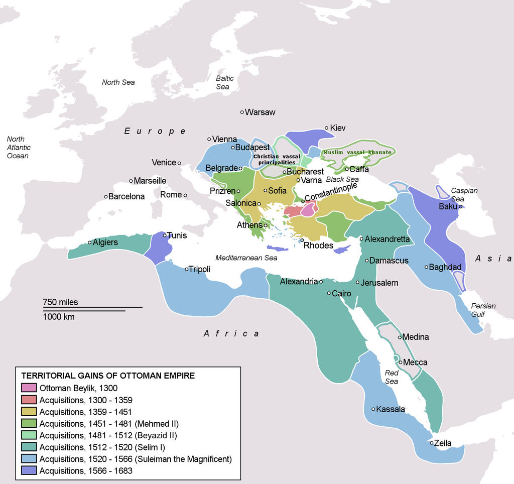
OttomanEmpireIn1683
Författare/Upphovsman:
Kreditera:
Self drawn, mainly based on Robert Mantran (ed.), Histoire de l'Empire Ottoman, Paris: Fayard (1989), also en:List of Ottoman Empire dominated territories, Image:Ottoman 1683.png, [1], and [2]. Background map modified from Image:A large blank world map with oceans marked in blue.svg.
Kort länk:
Källa:
Upplösning:
1966 x 1850 Pixel (305086 Bytes)
Beskrivning:
Licens:
Public domain
Mer information om licensen för bilden finns här. Senaste uppdateringen: Sun, 01 Sep 2024 01:13:56 GMT
