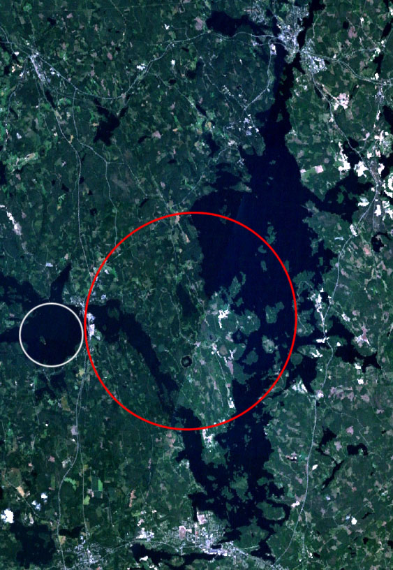
Keurusselka-WorldWind
Författare/Upphovsman:
NASA
Kort länk:
Källa:
Upplösning:
563 x 816 Pixel (187522 Bytes)
Beskrivning:
Landsat 7 satellite image of the Keurusselkä lake region. Keurusselkä impact structure is marked with a red ellipse, suggested impact structure of Ukonselkä is marked with a white circle
Licens:
Public domain
Licenskommentaren:
NASA PD
Mer information om licensen för bilden finns här. Senaste uppdateringen: Tue, 27 Dec 2022 15:32:05 GMT
