Kentucky Bend map
Författare/Upphovsman:
Jim Efaw (self)
Kreditera:
self; based on US Census TIGER generated map image
Kort länk:
Källa:
Upplösning:
720 x 720 Pixel (32047 Bytes)
Beskrivning:
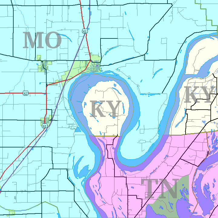
Map of Kentucky Bend exclave between Missouri and Tennessee, USA.
Licens:
Licenskommentaren:
CC-By-SA for overlay; original map is public domain US government work
Licensvillkor:
Creative Commons Attribution-Share Alike 2.5
Mer information om licensen för bilden finns här. Senaste uppdateringen: Sat, 18 Feb 2023 02:16:31 GMT