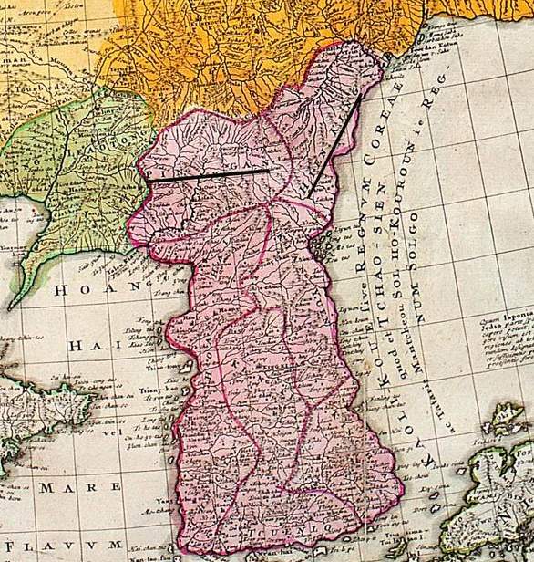
Joseon at its end
Författare/Upphovsman:
Tobias Mayer
Kreditera:
Kort länk:
Källa:
Upplösning:
586 x 616 Pixel (121965 Bytes)
Beskrivning:
Detail of Korea c. 1749, but based on J.B.B. d'Anville's earlier maps of the 1720s and 1730s, chiefly based on Jesuit and Qing maps of the 1710s and 1720s at the height of the Joseon dynasty. Pingan and Hienking underlined for no apparent reason.
Licens:
Public domain
Mer information om licensen för bilden finns här. Senaste uppdateringen: Sun, 25 Aug 2024 17:54:01 GMT
