Is-wb-gs-gh v3
Författare/Upphovsman:
Kreditera:
http://www.un.org/Depts/Cartographic/map/profile/israel.pdf (heavily modified)
Kort länk:
Källa:
Upplösning:
1428 x 2289 Pixel (265229 Bytes)
Beskrivning:
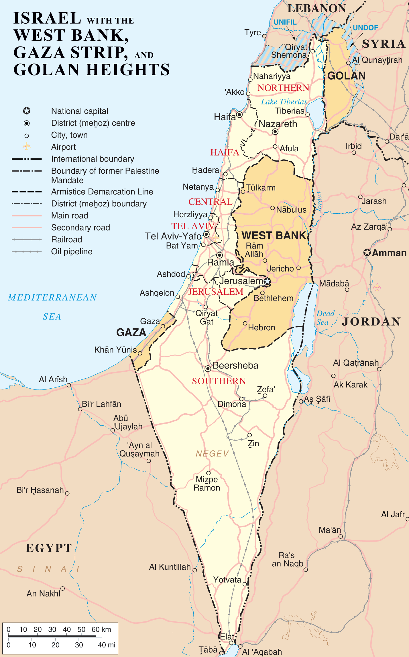
Map of Israel, the Palestinian territories (West Bank and Gaza Strip), the Golan Heights, and portions of neighbouring countries. Also United Nations deployment areas in countries adjoining Israel or Israeli-held territory, as of January 2004.
Licens:
Public domain
Mer information om licensen för bilden finns här. Senaste uppdateringen: Fri, 29 Mar 2024 17:39:13 GMT