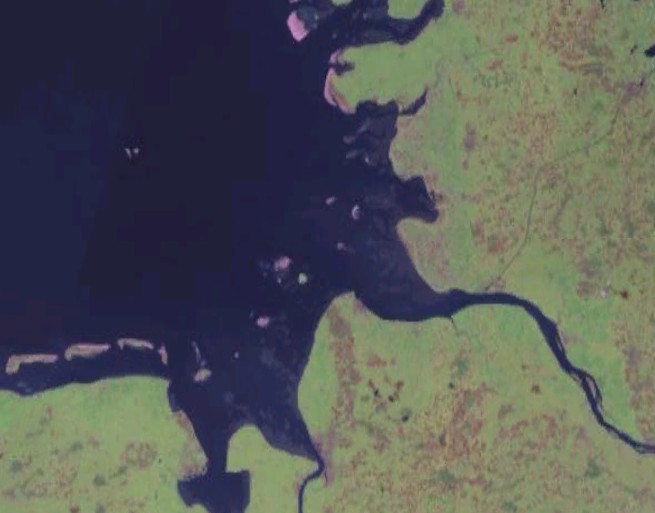
Helgolaender Bucht 1
Författare/Upphovsman:
NASA
Kreditera:
NASA World Wind
Kort länk:
Källa:
Upplösning:
655 x 513 Pixel (47332 Bytes)
Beskrivning:
Satellite image of the souteastern part of the German Bight, i.e. the Heligoland Bight, and adjacent coastal areas of northwestern Germany.
Licens:
Public domain
Mer information om licensen för bilden finns här. Senaste uppdateringen: Wed, 09 Oct 2024 23:59:47 GMT
