Gwadar satellite view
Författare/Upphovsman:
NASA
Kort länk:
Källa:
Upplösning:
2000 x 2000 Pixel (650927 Bytes)
Beskrivning:
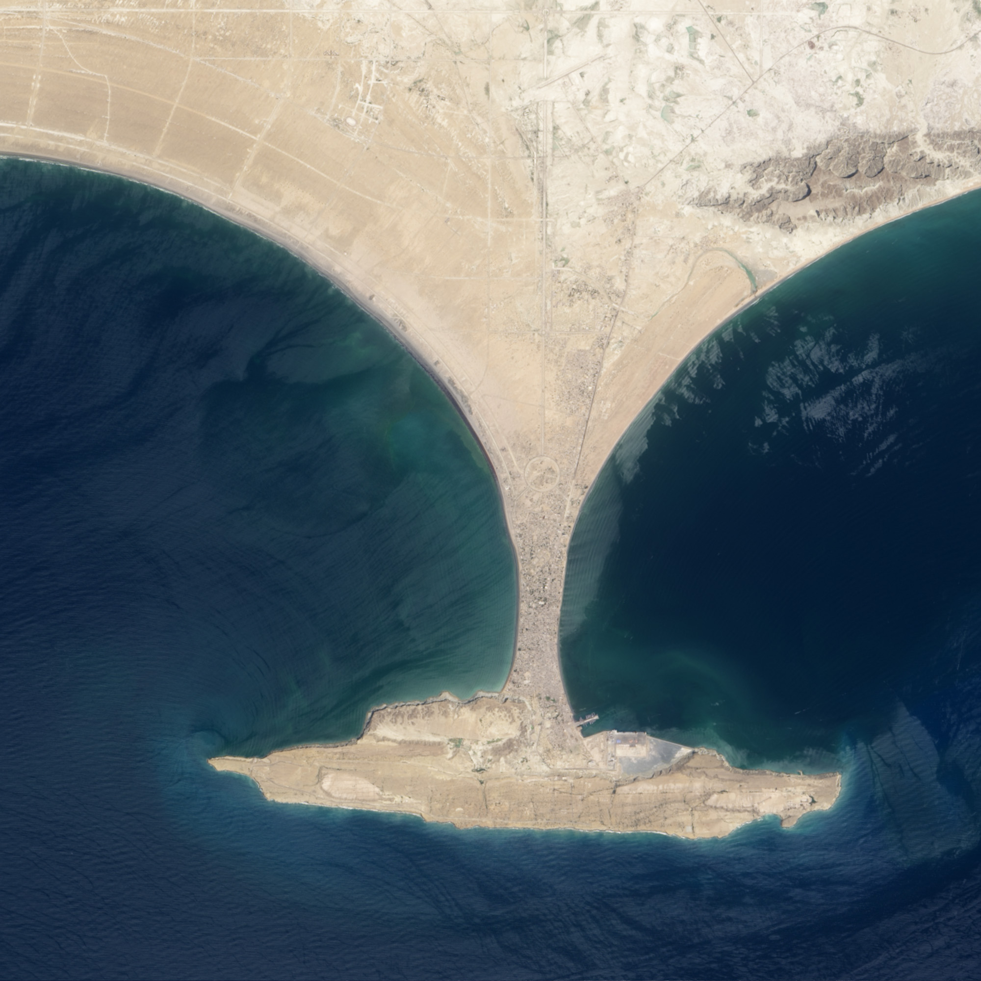
This image shows the area before Zalzala Jazeera (Earthquake Island) surfaced in the upper left quadrant of this image of Gwadar, Pakistan. File:Gwadar satellite view showing island created by 2013 earthquake.jpg shows the same view with the island.
Licens:
Public domain
Mer information om licensen för bilden finns här. Senaste uppdateringen: Wed, 21 Aug 2024 06:21:20 GMT