Gambia satellite fires
Författare/Upphovsman:
Jacques Descloitres, MODIS Land Rapid Response Team at NASA GSFC
Kreditera:
Cropped from: http://visibleearth.nasa.gov/view_rec.php?id=2521
Kort länk:
Källa:
Upplösning:
1432 x 433 Pixel (105860 Bytes)
Beskrivning:
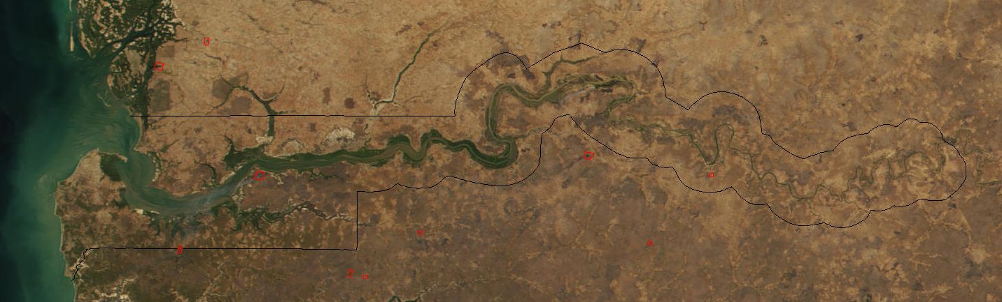
Image cropped to The Gambia.
The red dots sprinkled all across this true-color image show the locations of fires mostly located in the African savannas just south of the Sahel region. Many fires were burning in this region throughout February 2002. This scene was acquired by the Moderate-resolution Imaging Spectroradiometer (MODIS), flying aboard NASA's Terra satellite, on Feb. 15.
The red dots sprinkled all across this true-color image show the locations of fires mostly located in the African savannas just south of the Sahel region. Many fires were burning in this region throughout February 2002. This scene was acquired by the Moderate-resolution Imaging Spectroradiometer (MODIS), flying aboard NASA's Terra satellite, on Feb. 15.
Licens:
Public domain
Mer information om licensen för bilden finns här. Senaste uppdateringen: Thu, 19 Sep 2024 17:22:45 GMT