FortTiconderogaLayout1758
Författare/Upphovsman:
Kreditera:
The source image is from the Library and Archive of Quebec.
Call number: G 3804 T5 1758 J4 CAR
Iris catalogue: 0002663195
Kort länk:
Källa:
Upplösning:
1327 x 859 Pixel (2540611 Bytes)
Beskrivning:
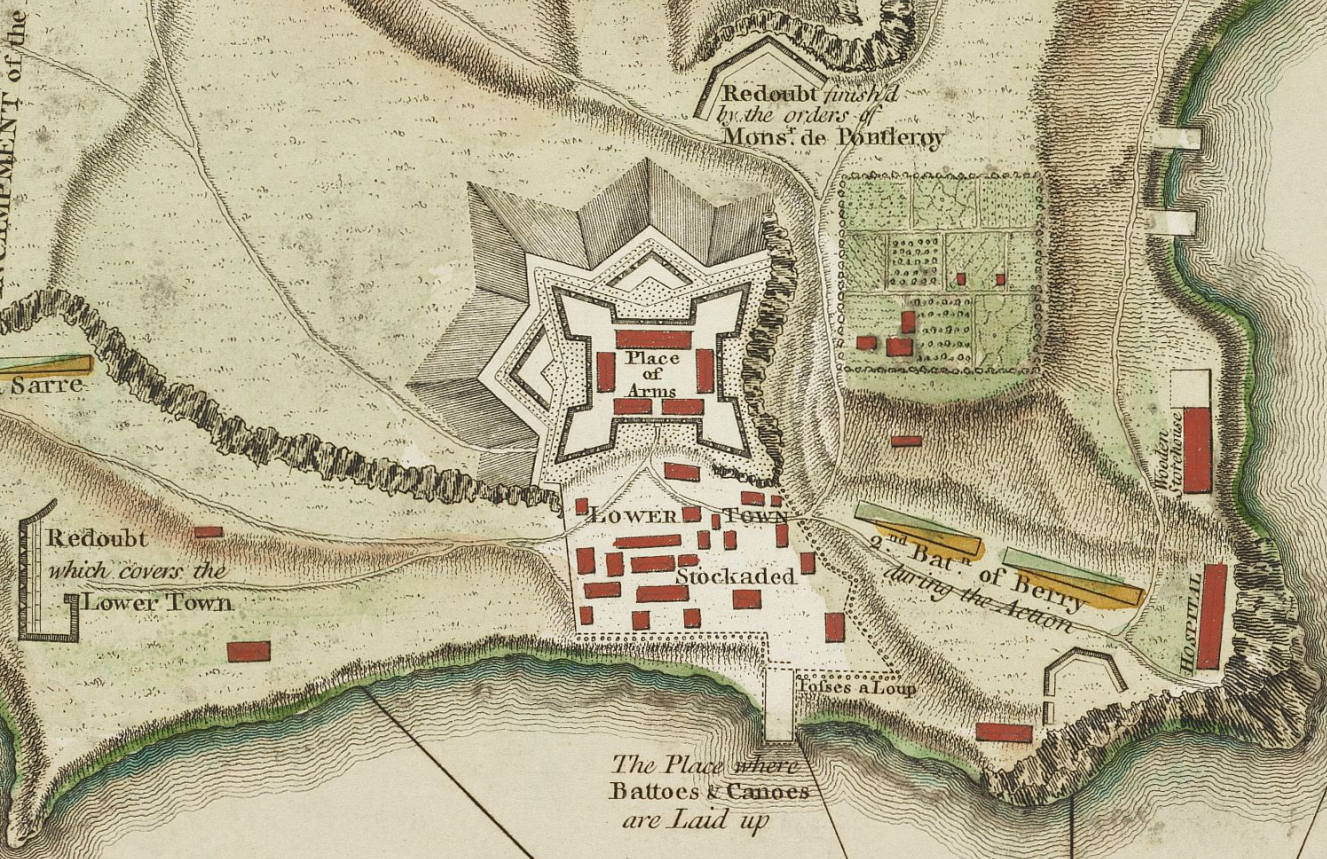
This is a detail from the source map showing the the layout of Fort Ticonderoga (then known as Fort Carillon) in 1758.
Licens:
Public domain
Licenskommentaren:
|
Detta verk är också upphovsrättsfritt i länder och områden där upphovsrätten förfaller 100 år eller färre efter upphovsmannens död. Detta verk är i public domain i Förenta staterna eftersom det publicerats före den 1 januari 1928. | |
| Denna fil har identifierats som fri från kända begränsningar enligt upphovsrätten, inklusive alla relaterade och närliggande rättigheter. | |
Mer information om licensen för bilden finns här. Senaste uppdateringen: Mon, 02 Oct 2023 07:26:30 GMT