Canada2.A2002165.1940.250m
Författare/Upphovsman:
Jacques Descloitres, MODIS Land Rapid Response Team, NASA/GSFC
Kort länk:
Källa:
Upplösning:
4000 x 5200 Pixel (2963727 Bytes)
Beskrivning:
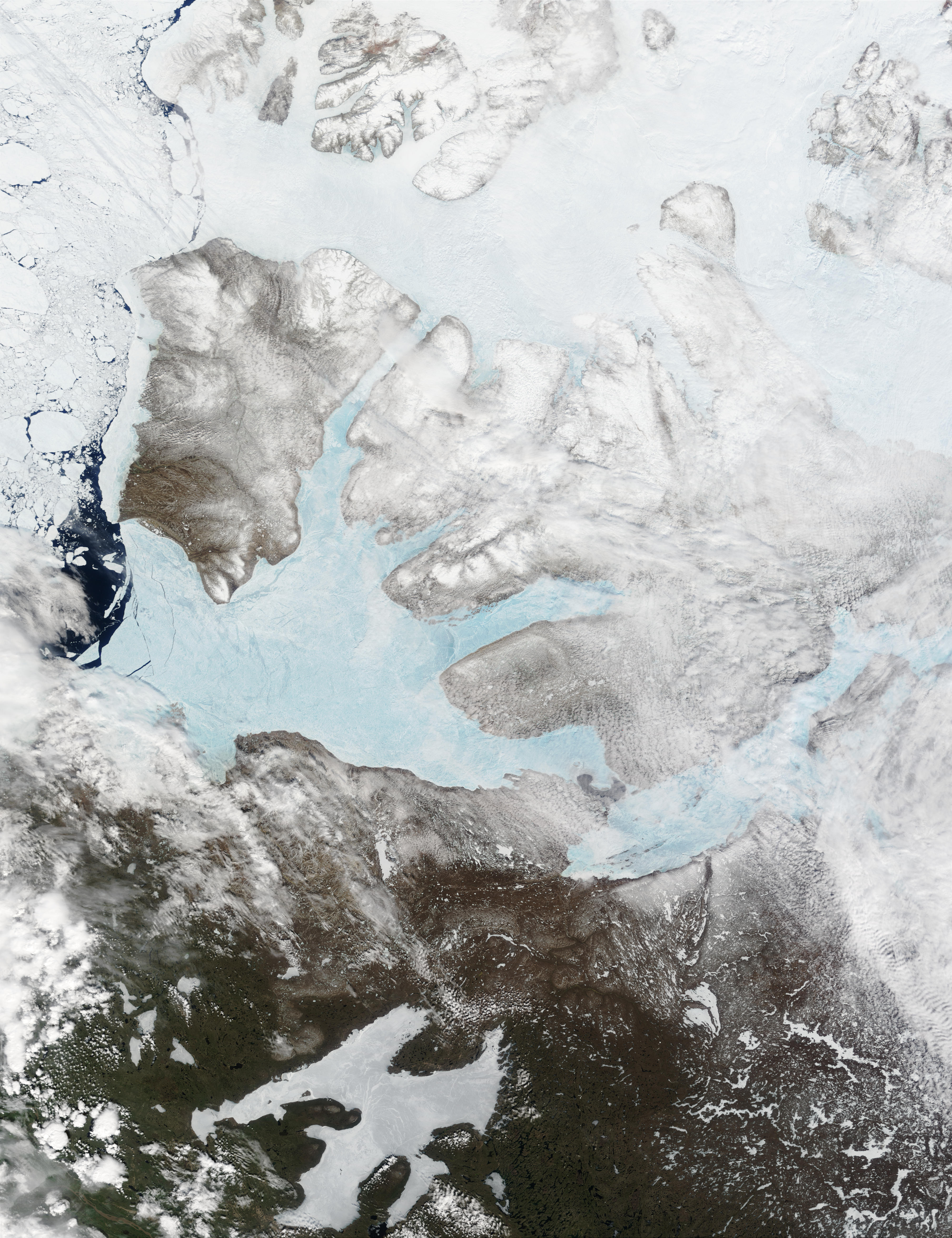
These Moderate resolution Imaging Spectroradiometer Images from June 14 and 16, 2002, show Banks Island (upper left) and Victoria Island (to the southeast) in the Arctic Ocean off northwest Canada. Left of center in each image is Amundsen Gulf, looking bright blue as this arm of the Beaufort Sea (at the southern end of the Arctic Ocean) begins to thaw. At the bottom of the images, the tundra of the Northwest Territories (left) and the Nunavut (right) Provinces of Canada is beginning to lose its winter snow cover. At bottom center of the portrait oriented image is Great Bear lake--still frozen.
Licens:
Public domain
Mer information om licensen för bilden finns här. Senaste uppdateringen: Wed, 17 Aug 2022 19:31:13 GMT