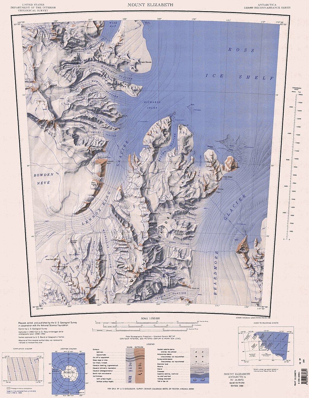
C83172s5 Ant.Map Mount Elizabeth
Författare/Upphovsman:
United States Geological Survey
Kreditera:
Kort länk:
Källa:
Upplösning:
1913 x 2464 Pixel (1787935 Bytes)
Beskrivning:
1:250,000-scale topographic reconnaissance map of the Mount Elizabeth area from 165°-172°30'E to 83°-84°S in Antarctica. Mapped, edited and published by the U.S. Geological Survey in cooperation with the National Science Foundation.
Licens:
Public domain
Mer information om licensen för bilden finns här. Senaste uppdateringen: Tue, 13 Aug 2024 09:40:11 GMT
