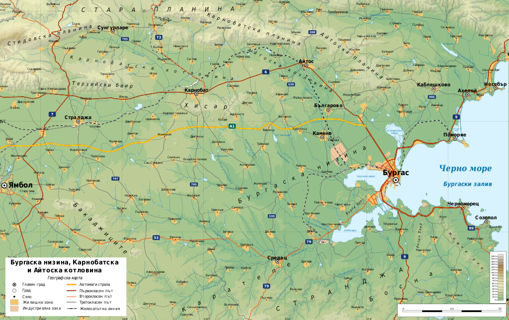
Bulgaria geographic map Burgasvalley bg
Författare/Upphovsman:
Tillskrivning:
Bilden är taggad "Attribution Required" men ingen tillskrivningsinformation lämnades. Attributionsparametern utelämnades troligen när MediaWiki-mallen användes för CC-BY-licenserna. Författare och upphovsmän hittar ett exempel för korrekt användning av mallarna här.
Kreditera:
Eget arbete
- Sources of data:
- Topography: NASA SRTM3 v3;
- Rivers: Produced using Copernicus data and information funded by the European Union - EU-Hydro layers
- Other data: © OpenStreetMap contributors
- Tool:
- The map is created with Octave scripts developed by Ikonact
Kort länk:
Källa:
Upplösning:
3176 x 2000 Pixel (10614908 Bytes)
Beskrivning:
Geographic map of Burgas valley, Bulgaria in Bulgarian. Geographic limits of the map:
Licens:
Licenskommentaren:
Any use of this map is subject of the license(s) stated below with the condition that you credit (Wikimedia Commons user: Ikonact) as the author . A message with a reply address would also be greatly appreciated.
Licensvillkor:
Creative Commons Attribution-Share Alike 4.0
Mer information om licensen för bilden finns här. Senaste uppdateringen: Thu, 10 Oct 2024 23:33:12 GMT
