Belgium relief location map
Författare/Upphovsman:
Tillskrivning:
Bilden är taggad "Attribution Required" men ingen tillskrivningsinformation lämnades. Attributionsparametern utelämnades troligen när MediaWiki-mallen användes för CC-BY-licenserna. Författare och upphovsmän hittar ett exempel för korrekt användning av mallarna här.
Kreditera:
Topographic background map: Own work
- Sources of data:
- SRTM30 Plus
- NASA SRTM3 & SWBD (public domain)
- NGDC World Data Bank II (public domain)
- Part of the rivers: OpenStreetMap (CC-BY-SA 2.0)
- SRTM30 Plus
- All boundaries taken from File:Belgium_location_map.svg created by NordNordWest under GFDL/CC-BY-SA 3.0
Kort länk:
Källa:
Upplösning:
1136 x 988 Pixel (260964 Bytes)
Beskrivning:
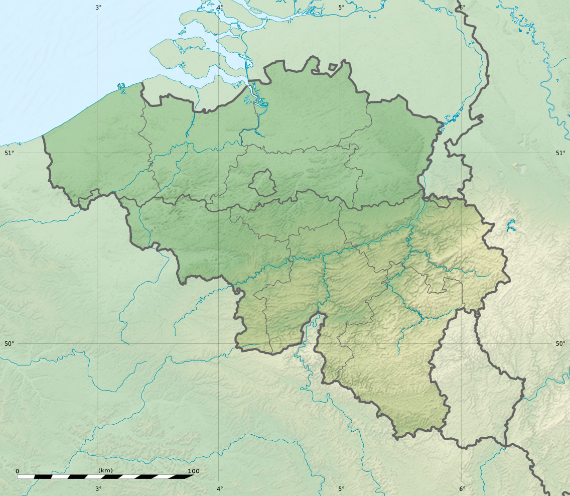
Physical location map of Belgium, for geo-location purposes.
Licens:
Licenskommentaren:
| Attribution and Share-Alike required |
|---|
| Any use of this map can be made as long as you credit me (Eric Gaba – Wikimedia Commons user: Sting) , Wikimedia Commons user: NordNordWest and OpenStreetMap as the authors and distribute the copies and derivative works under the same license(s) that the one(s) stated below. A message with a reply address would also be greatly appreciated. |
Licensvillkor:
Creative Commons Attribution-Share Alike 3.0
Mer information om licensen för bilden finns här. Senaste uppdateringen: Thu, 28 Mar 2024 08:15:48 GMT