Aegean Sea map bathymetry-fr
Tillskrivning:
Bilden är taggad "Attribution Required" men ingen tillskrivningsinformation lämnades. Attributionsparametern utelämnades troligen när MediaWiki-mallen användes för CC-BY-licenserna. Författare och upphovsmän hittar ett exempel för korrekt användning av mallarna här.
Kreditera:
Own work ;
- Sources of data:
- Topography: NASA Shuttle Radar Topography Mission (SRTM3 v.2) (public domain);
- Bathymetry: NGDC ETOPO1 (public domain);
- Topography: NASA Shuttle Radar Topography Mission (SRTM3 v.2) (public domain);
- Reference used for the additional data : ViaMichelin;
- Translation of the Greek and Turkish names into French: fr:Cédric Boissière and fr:Phso2.
Kort länk:
Källa:
Upplösning:
3744 x 4554 Pixel (4428639 Bytes)
Beskrivning:
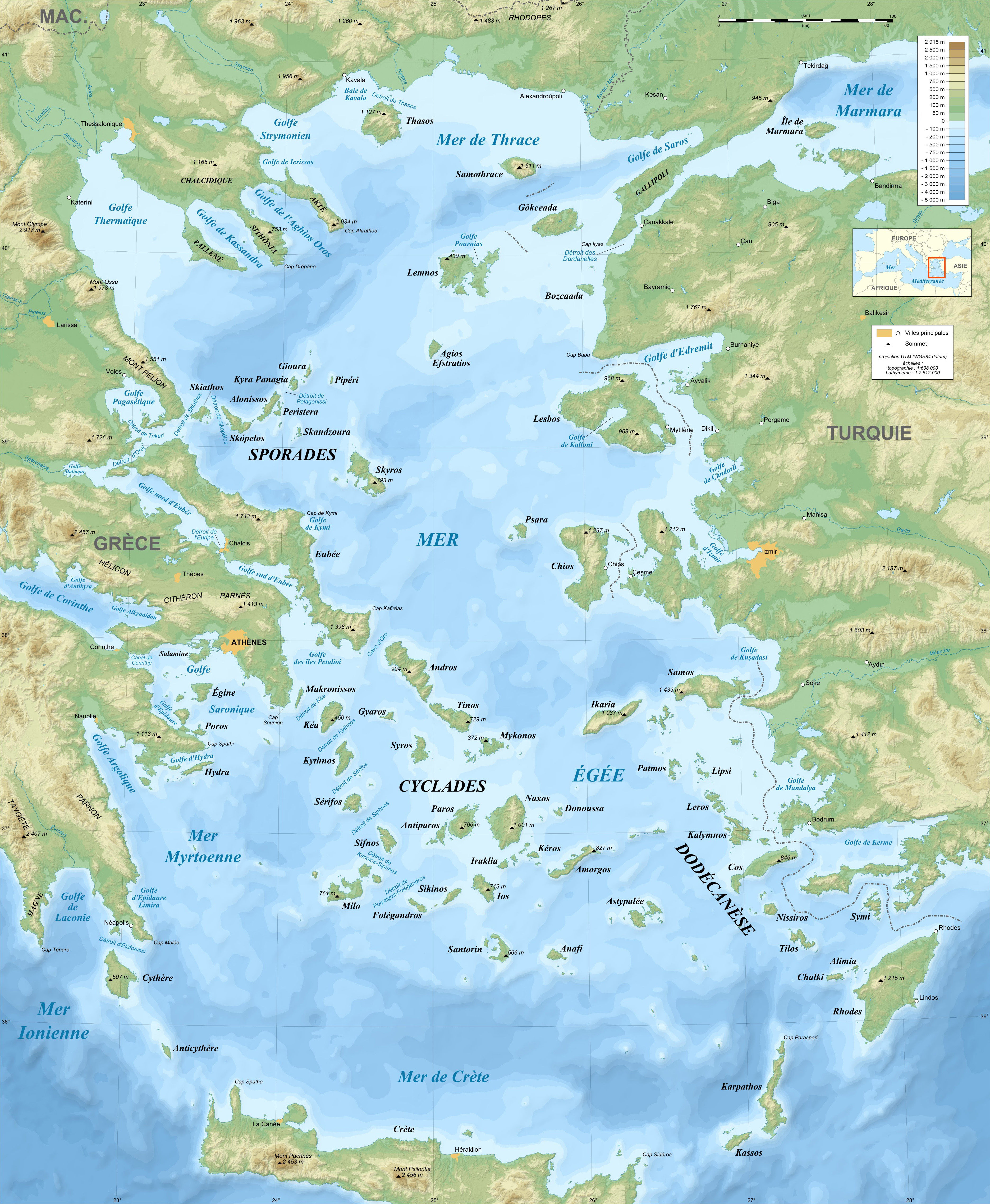
Bathymetric map in French of the Aegean Sea, Mediterranean Sea.
Licens:
Licenskommentaren:
| Attribution and Share-Alike required |
|---|
| Any use of this map can be made as long as you credit me (Eric Gaba – Wikimedia Commons user: Sting) as the author and distribute the copies and derivative works under the same license(s) that the one(s) stated below. A message with a reply address would also be greatly appreciated. |
Licensvillkor:
Creative Commons Attribution-Share Alike 4.0
Mer information om licensen för bilden finns här. Senaste uppdateringen: Tue, 05 Sep 2023 08:52:59 GMT